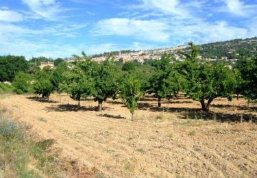
12.6 km | 16.5 km-effort
st Christophe 22 10 24
JM F
User
Length
4.2 km
Max alt
893 m
Uphill gradient
47 m
Km-Effort
4.9 km
Min alt
874 m
Downhill gradient
47 m
Boucle
Yes
Creation date :
2024-10-22 09:27:15.045
Updated on :
2024-10-22 13:54:37.569
1h39
Difficulty : Easy
FREE GPS app for hiking
About
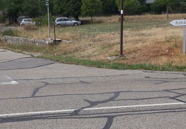
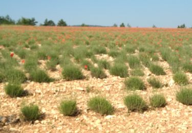
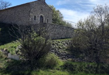
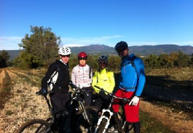
Trail Walking of 4.2 km to be discovered at Provence-Alpes-Côte d'Azur, Vaucluse, Sault. This trail is proposed by JM F.
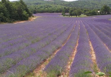
Positioning
Country:
France
Region :
Provence-Alpes-Côte d'Azur
Department/Province :
Vaucluse
Municipality :
Sault
Location:
Unknown
Start:(Dec)
Start:(UTM)
697923 ; 4881103 (31T) N.
Comments
Trails nearby
Sault - Le plateau d'Albion
Walking
Easy
(1)
Sault,
Provence-Alpes-Côte d'Azur,
Vaucluse,
France
3h 25min
Yes
Circuit Vélo - Le Plateau d'Albion - Sault
Cycle
Medium
Sault,
Provence-Alpes-Côte d'Azur,
Vaucluse,
France
32 km | 39 km-effort
2h 30min
Yes
Mombrun les thermes le Negron photos
Road bike
Very difficult
Sault,
Provence-Alpes-Côte d'Azur,
Vaucluse,
France
68 km | 85 km-effort
4h 16min
Yes
Sault 16 juin 2021 (IBP 64) Séjour CAF
Walking
Difficult
Sault,
Provence-Alpes-Côte d'Azur,
Vaucluse,
France
19.2 km | 26 km-effort
4h 41min
Yes
Mont Ventoux
Bicycle tourism
Medium
Sault,
Provence-Alpes-Côte d'Azur,
Vaucluse,
France
40 km | 61 km-effort
4h 10min
No
rando sault
Mountain bike
Very easy
Sault,
Provence-Alpes-Côte d'Azur,
Vaucluse,
France
44 km | 58 km-effort
4h 10min
Yes
Vaucluse - Sault - Saint Saturnin les Apt - Sault
Cycle
Medium
Sault,
Provence-Alpes-Côte d'Azur,
Vaucluse,
France
57 km | 75 km-effort
3h 30min
Yes
sault
Walking
Easy
Sault,
Provence-Alpes-Côte d'Azur,
Vaucluse,
France
12.2 km | 16 km-effort
3h 15min
Yes
Sault
Walking
Easy
Sault,
Provence-Alpes-Côte d'Azur,
Vaucluse,
France
14.4 km | 17.9 km-effort
3h 56min
Yes