


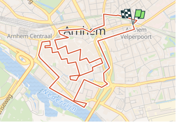

19.7 km | 23 km-effort


User


FREE GPS app for hiking
 SityTrail
IGN / Geographical institutes
SityTrail World
The world is yours!
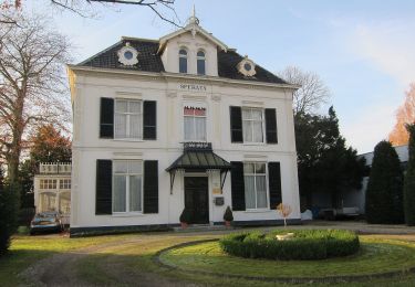
Trail On foot of 7.2 km to be discovered at Gelderland, Unknown, Arnhem. This trail is proposed by Peter Hemme.
vooral hoogtepunten te bekijken en beleven: kerken, St Jansbeek, historische kelders en heel veel eet en drinkgelegenheden naast culturele bezienswaardigheden....

On foot
On foot

On foot


On foot
On foot