


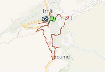


11.5 km | 25 km-effort

User


FREE GPS app for hiking
 SityTrail
IGN / Geographical institutes
SityTrail World
The world is yours!
Trail Walking of 6 km to be discovered at Marrakech-Safi, cercle d'Asni, Asni. This trail is proposed by gwenola63.
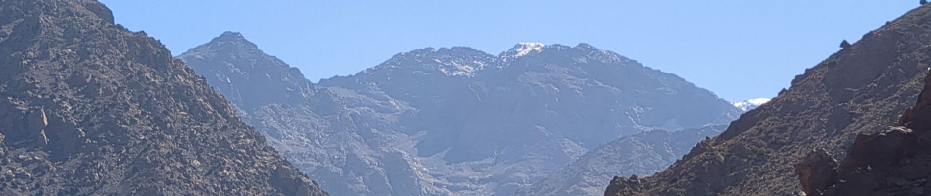
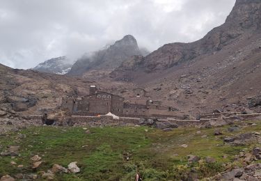
montées, descentes dans une forêt de noyers le long d'un cours d'eau.


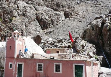
35 photos in total. Please click on a photo to see them all in the gallery.
Walking
Walking

On foot

Walking
Walking
Walking
Walking
Walking
Walking