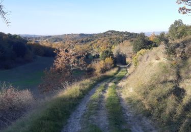
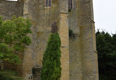
16.9 km | 21 km-effort
2024-10-20_17h21m35_FANJEAUX les cretes
ROLLAND Maryse
User
Length
7.4 km
Max alt
336 m
Uphill gradient
194 m
Km-Effort
10 km
Min alt
216 m
Downhill gradient
192 m
Boucle
Yes
Creation date :
2024-10-20 15:21:35.565
Updated on :
2024-10-20 15:21:37.004
FREE GPS app for hiking
About
Trail of 7.4 km to be discovered at Occitania, Aude, Fanjeaux. This trail is proposed by ROLLAND Maryse.
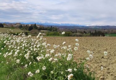
Positioning
Country:
France
Region :
Occitania
Department/Province :
Aude
Municipality :
Fanjeaux
Location:
Unknown
Start:(Dec)
Start:(UTM)
421587 ; 4781839 (31T) N.
Comments
Trails nearby
Lasserre de prouilhe 17 kms
Walking
Medium
(1)
Lasserre-de-Prouille,
Occitania,
Aude,
France
4h 25min
Yes
Fanjeaux la hilhe
Walking
Difficult
(1)
Fanjeaux,
Occitania,
Aude,
France
9.7 km | 13.2 km-effort
3h 0min
No
La grande boucle des paysages Villasavary
Walking
Very difficult
(1)
Villasavary,
Occitania,
Aude,
France
14.5 km | 19.5 km-effort
4h 26min
Yes
circuit 3 villasavary
Mountain bike
Medium
(1)
Villasavary,
Occitania,
Aude,
France
23 km | 30 km-effort
1h 43min
Yes
Laurac Fanjeaux
Walking
Very difficult
(1)
Laurac,
Occitania,
Aude,
France
27 km | 37 km-effort
6h 30min
Yes
Tour Montcarrière depuis Monplaisir
Walking
Medium
Villasavary,
Occitania,
Aude,
France
4.6 km | 6.5 km-effort
1h 28min
Yes
Fanjeaux Boucle de la Hille
Walking
Medium
Fanjeaux,
Occitania,
Aude,
France
13.1 km | 18.3 km-effort
3h 30min
Yes
À travers Champs et Vignes
On foot
Medium
Ferran,
Occitania,
Aude,
France
17.2 km | 21 km-effort
4h 49min
Yes
Chemin du Piémont Pyrénéen - de Fanjeaux à Mirepoix
Walking
Difficult
(1)
Fanjeaux,
Occitania,
Aude,
France
26 km | 33 km-effort
6h 0min
No