


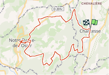

11.4 km | 17.4 km-effort


User


FREE GPS app for hiking
 SityTrail
IGN / Geographical institutes
SityTrail World
The world is yours!
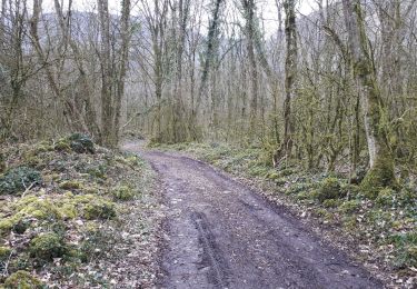
Trail Walking of 15 km to be discovered at Auvergne-Rhône-Alpes, Isère, Chantesse. This trail is proposed by meillon.
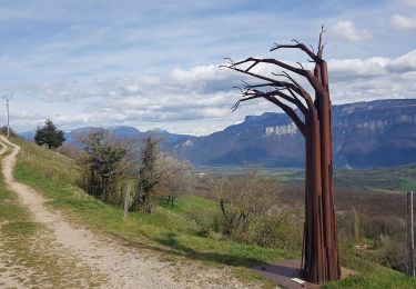
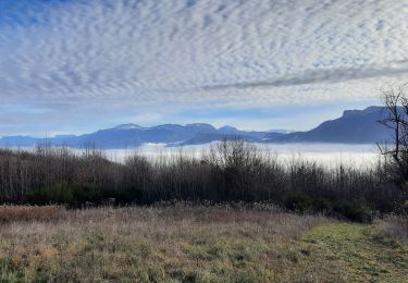
En partant de Chantesse on decouvre a mi parcour la basilique ND de l osier avec le miracle de l osier qui saigne et la chapelle de bon rencontre d ou est venu 8 ans apres l apparition de la Vierge. un peu plus loin beau panorama sur la vallee de l isere et le Vercors
Walking
Walking
Walking
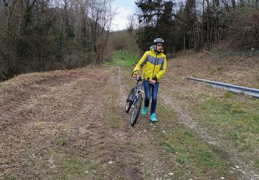
Mountain bike
Walking
Walking
Walking

Mountain bike
Walking