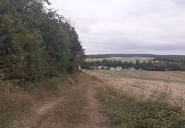
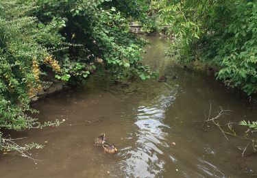
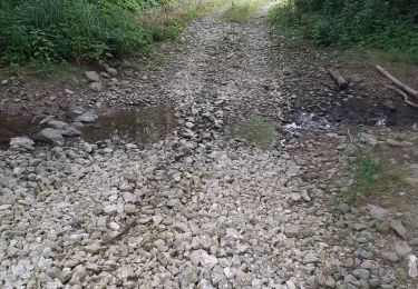
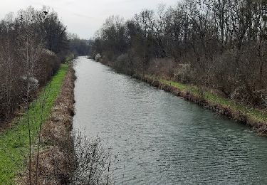
11 km | 12.5 km-effort
pont . crancey
cacal51
User
Length
8.3 km
Max alt
114 m
Uphill gradient
71 m
Km-Effort
9.3 km
Min alt
63 m
Downhill gradient
71 m
Boucle
Yes
Creation date :
2024-10-14 06:50:33.252
Updated on :
2024-10-14 09:13:49.028
2h22
Difficulty : Medium
FREE GPS app for hiking
About
Trail Walking of 8.3 km to be discovered at Grand Est, Aube, Pont-sur-Seine. This trail is proposed by cacal51.
Positioning
Country:
France
Region :
Grand Est
Department/Province :
Aube
Municipality :
Pont-sur-Seine
Location:
Unknown
Start:(Dec)
Start:(UTM)
544172 ; 5373622 (31U) N.
Comments
Trails nearby
Saint Aubin et la vallée de l'Ardusson
Walking
Difficult
Saint-Aubin,
Grand Est,
Aube,
France
2h 28min
Yes
St Aubin - Fontaine Mâcon - St Aubin
Walking
Difficult
Saint-Aubin,
Grand Est,
Aube,
France
11.5 km | 13.1 km-effort
2h 20min
Yes
St Aubin - Fontaine Mâcon - Abbaye du Paraclet - St Aubin
Walking
Difficult
Saint-Aubin,
Grand Est,
Aube,
France
14.2 km | 16.3 km-effort
3h 15min
Yes
Marnay bis
Hybrid bike
Medium
Marnay-sur-Seine,
Grand Est,
Aube,
France
20 km | 22 km-effort
73h 2min
No
Entre CRANCEY et PONT SUR SEINE
Walking
Medium
Crancey,
Grand Est,
Aube,
France
10.2 km | 11.5 km-effort
2h 25min
Yes
entre Pont sur SEINE et MARNAY
Walking
Difficult
(1)
Pont-sur-Seine,
Grand Est,
Aube,
France
13.1 km | 13.8 km-effort
2h 43min
Yes
tournée esclavolles-lurey
Walking
Easy
Esclavolles-Lurey,
Grand Est,
Marne,
France
3.8 km | 3.9 km-effort
50min
Yes
esclavolles-lurey, Périgny
Walking
Easy
Esclavolles-Lurey,
Grand Est,
Marne,
France
9.8 km | 11 km-effort
1h 58min
Yes
De Pont sur Seine à Marnay
Walking
Easy
(1)
Pont-sur-Seine,
Grand Est,
Aube,
France
13.4 km | 14.1 km-effort
2h 38min
Yes