


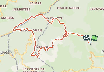


19.1 km | 29 km-effort

User


FREE GPS app for hiking
 SityTrail
IGN / Geographical institutes
SityTrail World
The world is yours!
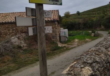
Trail of 14.4 km to be discovered at Auvergne-Rhône-Alpes, Ardèche, Pranles. This trail is proposed by alinetpierre.
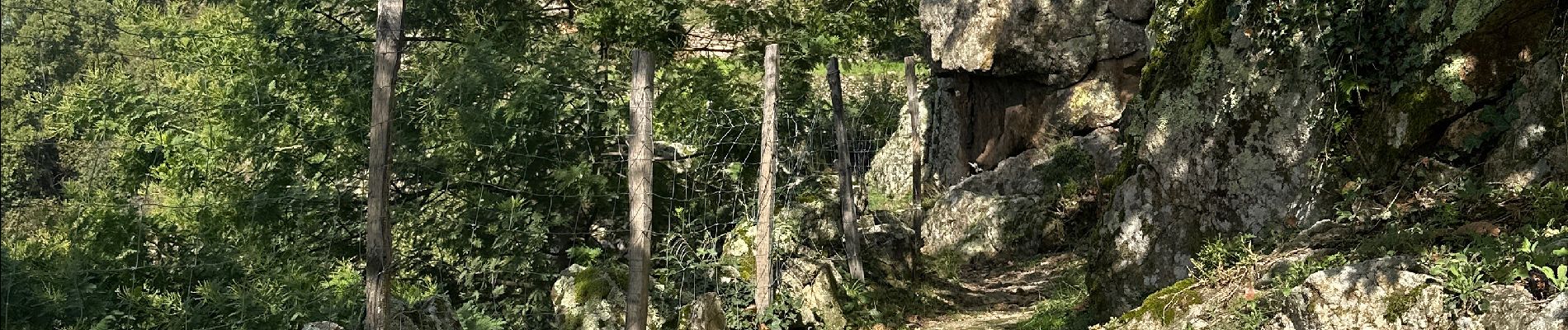
Départ du parking et non du gîte (bug du GPS). Beaucoup de portails, merci aux propriétaires de laisser passer les randonneurs, merci de bien les refermer. Sinon c’est magnifique,


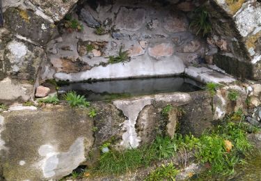
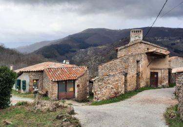
24 photos in total. Please click on a photo to see them all in the gallery.

Walking
Walking
Walking

Walking
Walking

Walking
Walking
Walking

Walking