214 km | 295 km-effort
rand-olt 2024
kayakiste15
User
Length
32 km
Max alt
483 m
Uphill gradient
1191 m
Km-Effort
48 km
Min alt
177 m
Downhill gradient
1197 m
Boucle
Yes
Creation date :
2024-10-13 06:33:00.984
Updated on :
2024-10-13 09:35:04.199
3h01
Difficulty : Medium
FREE GPS app for hiking
About
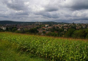
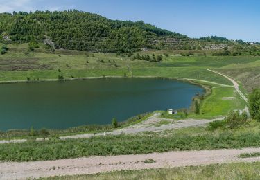
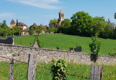
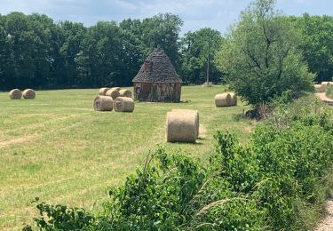
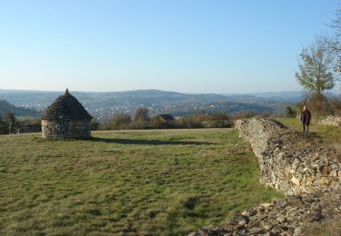
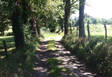
Trail Mountain bike of 32 km to be discovered at Occitania, Aveyron, Livinhac-le-Haut. This trail is proposed by kayakiste15.
Description
rand'olt 2024 OTB12
Positioning
Country:
France
Region :
Occitania
Department/Province :
Aveyron
Municipality :
Livinhac-le-Haut
Location:
Unknown
Start:(Dec)
Start:(UTM)
439452 ; 4937921 (31T) N.
Comments
Trails nearby
compostelle 2017 mt
Other activity
Very easy
(5)
Decazeville,
Occitania,
Aveyron,
France
1666h 40min
No
Livinhac le Haut - Figeac - Chemin de St-Jacques de Compostelle
Walking
Very difficult
(4)
Livinhac-le-Haut,
Occitania,
Aveyron,
France
26 km | 33 km-effort
5h 0min
No
Les découvertes
On foot
Easy
Decazeville,
Occitania,
Aveyron,
France
12.3 km | 18.3 km-effort
4h 9min
No
Entre plateau et découverte
On foot
Easy
Decazeville,
Occitania,
Aveyron,
France
11.6 km | 17.1 km-effort
3h 53min
Yes
Levinhac le Haut Figeac Avril 2018
Walking
Medium
Livinhac-le-Haut,
Occitania,
Aveyron,
France
24 km | 31 km-effort
6h 27min
No
Compostelle 12 - Livinhac-le-haut -> Figeac
Walking
Medium
(1)
Livinhac-le-Haut,
Occitania,
Aveyron,
France
26 km | 33 km-effort
7h 4min
No
Étape 12 Decazeville a Figeac
Walking
Medium
Decazeville,
Occitania,
Aveyron,
France
29 km | 38 km-effort
6h 27min
No
CC_Velay_CB_11_Livinhac-Haut_Figeac_20071102
Walking
Medium
Livinhac-le-Haut,
Occitania,
Aveyron,
France
26 km | 34 km-effort
6h 40min
No
Livinhac le Haut vers Figeac
Walking
Medium
Livinhac-le-Haut,
Occitania,
Aveyron,
France
25 km | 32 km-effort
6h 1min
No