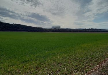
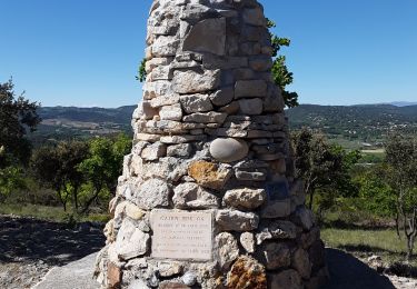
14.5 km | 16.4 km-effort
vinon1
© OpenStreetMap contributors
Walking
6h12
Difficulty : Difficult
Length
14.4 km
Max alt
430 m
Uphill gradient
304 m
Km-Effort
18.5 km
Min alt
270 m
Downhill gradient
306 m
Boucle
Yes
Creation date :
2024-10-09 06:54:14.859
Updated on :
2024-10-09 13:54:30.01
6h12
Difficulty : Difficult
FREE GPS app for hiking
About
Trail Walking of 14.4 km to be discovered at Provence-Alpes-Côte d'Azur, Var, Vinon-sur-Verdon. This trail is proposed by Daniel. Serrre0984@osrange.fr Serre.
Positioning
Country:
France
Region :
Provence-Alpes-Côte d'Azur
Department/Province :
Var
Municipality :
Vinon-sur-Verdon
Location:
Unknown
Start:(Dec)
Start:(UTM)
724585 ; 4844132 (31T) N.
Comments
Trails nearby
Marie Coco - Vinon sur Verdon
Walking
Medium
(2)
Vinon-sur-Verdon,
Provence-Alpes-Côte d'Azur,
Var,
France
3h 30min
Yes
en face la maison
Nordic walking
Very easy
Vinon-sur-Verdon,
Provence-Alpes-Côte d'Azur,
Var,
France
7.6 km | 8.9 km-effort
1h 24min
Yes
Autour de Vinon 19.02.2022
Walking
Easy
Vinon-sur-Verdon,
Provence-Alpes-Côte d'Azur,
Var,
France
11.5 km | 14.1 km-effort
2h 49min
Yes
Corbieres Trou du Loup
Walking
Easy
Corbières-en-Provence,
Provence-Alpes-Côte d'Azur,
Alpes-de-Haute-Provence,
France
13.3 km | 17 km-effort
3h 7min
Yes
Le trou du Loup, P lotissement de Corbières ).
Walking
Easy
(1)
Corbières-en-Provence,
Provence-Alpes-Côte d'Azur,
Alpes-de-Haute-Provence,
France
5.9 km | 8 km-effort
1h 50min
Yes
Ragel - Vallongue
Other activity
Medium
Vinon-sur-Verdon,
Provence-Alpes-Côte d'Azur,
Var,
France
17.4 km | 21 km-effort
1h 13min
Yes
Les Têtes - Vinon sur Verdon
Mountain bike
Medium
Vinon-sur-Verdon,
Provence-Alpes-Côte d'Azur,
Var,
France
18.3 km | 22 km-effort
1h 30min
Yes
vinon .forêt domaniale
Walking
Easy
Vinon-sur-Verdon,
Provence-Alpes-Côte d'Azur,
Var,
France
7.8 km | 10.3 km-effort
2h 52min
Yes
aurabelles par les serres
Nordic walking
Very easy
Gréoux-les-Bains,
Provence-Alpes-Côte d'Azur,
Alpes-de-Haute-Provence,
France
6.7 km | 7.4 km-effort
1h 25min
Yes