


George Travels

gomills
User

Length
13.8 km

Max alt
180 m

Uphill gradient
163 m
Km-Effort
15.8 km

Min alt
125 m

Downhill gradient
117 m
Boucle
No
Creation date :
2014-12-10 00:00:00.0
Updated on :
2014-12-10 00:00:00.0
--
Difficulty : Unknown

FREE GPS app for hiking
 SityTrail
IGN / Geographical institutes
SityTrail World
The world is yours!
About
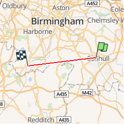
Trail Other activity of 13.8 km to be discovered at England, West Midlands Combined Authority, Solihull. This trail is proposed by gomills.


Positioning
Country:
United Kingdom
Region :
England
Department/Province :
West Midlands Combined Authority
Municipality :
Solihull
Location:
Unknown
Start:(Dec)
Start:(UTM)
582655 ; 5807645 (30U) N.
Comments
Trails nearby