


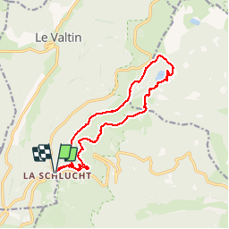


14.4 km | 22 km-effort

User


FREE GPS app for hiking
 SityTrail
IGN / Geographical institutes
SityTrail World
The world is yours!
Trail Walking of 13.8 km to be discovered at Grand Est, Haut-Rhin, Stosswihr. This trail is proposed by jeanclaude12.
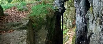
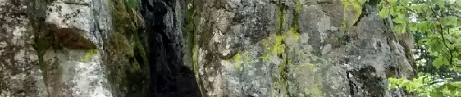
Du Col très fréquenté des Vosges, prendre la crête vers le Haut-Fourneau, le Tanet (1293m) jusque Dreieck. Puis descendre vers le Lac Vert et retour par la F.Auberge de Seestaettle, Schnupferen et les Escaliers des Hirschsteine et le Spitzenfels.


Walking

Walking

Walking

Walking

Other activity

Walking

Walking

Walking

Walking