Trail Horseback riding Lampertsloch - suuntoapp-HorsebackRiding-2024-10-02T07-31-37Z - Photo

suuntoapp-HorsebackRiding-2024-10-02T07-31-37Z

 holtzv
holtzv

User GUIDE

© OpenStreetMap contributors
Length
Length
26 km
Max alt
Max alt
307 m
Uphill gradient
Uphill gradient
443 m
Km-Effort
Km-Effort  
32 km
Min alt
Min alt
160 m
Downhill gradient
Downhill gradient
456 m
Boucle
Boucle
No
Creation date :
2024-10-07 13:20:44.874
Updated on :
2024-10-07 13:25:24.932

(0 Reviews)

Horseback riding
Horseback riding
4h12
Difficulty : Difficult

Scan this QR Code to open this trail in the SityTrail application

FREE GPS app for hiking

Logo SityTrail SityTrail

IGN / Geographical institutes

Download SityTrail from the App Store Download SityTrail from Google Play

Logo SityTrail SityTrail World

The world is yours!

Download SityTrail from the App Store Download SityTrail from Google Play Download SityTrail on Huawei AppGallery

About

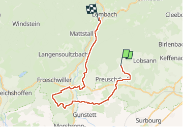
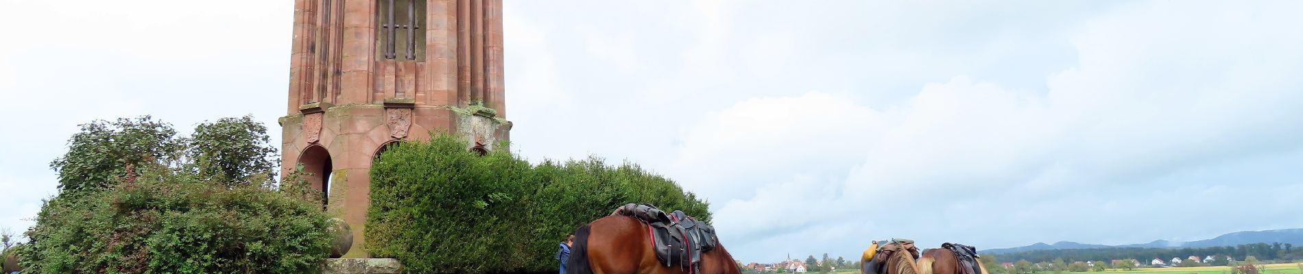
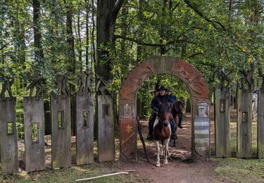
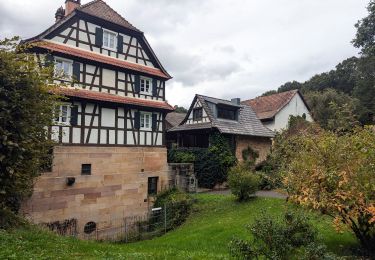
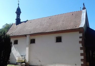
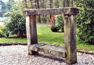
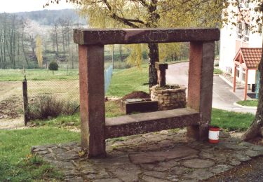
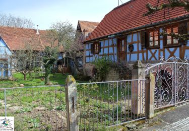
Trail Horseback riding of 26 km to be discovered at Grand Est, Bas-Rhin, Lampertsloch. This trail is proposed by holtzv.

Description

Rando CVA Palatinat : Jour 6 sur 6

Journée à cheval de Lampertsloch vers Lembach pour retrouver nos véhicules en passant par les zones ouvertes et les différents villages du coin comme Oberdorf et Woerth.

Elevation profile

Photos

Positioning

Country:
France
Region :
Grand Est
Department/Province :
Bas-Rhin
Municipality :
Lampertsloch
Location:
Unknown
Start:(UTM)
413033 ; 5423412 (32U) N.

Trails nearby

Trail Mountain bike Cleebourg - Petite sortie VTT sympa secteur Wissembourg - Photo
Mountain bike
tracegps

Mountain bike

Medium
(1)
Cleebourg, Grand Est, Bas-Rhin, France
23 km | 32 km-effort
2h 30min
Yes
Trail Horseback riding Lembach - suuntoapp-HorsebackRiding-2024-09-28T07-36-13Z - Photo
Horseback riding
GUIDE
holtzv

Horseback riding

Difficult
Lembach, Grand Est, Bas-Rhin, France
28 km | 40 km-effort
5h 15min
No
Trail Horseback riding Lembach - suuntoapp-HorsebackRiding-2024-09-27T08-57-29Z - Photo
Horseback riding
GUIDE
holtzv

Horseback riding

Medium
Lembach, Grand Est, Bas-Rhin, France
19.1 km | 27 km-effort
3h 31min
Yes
Trail On foot Climbach - Triangle vert - Photo
On foot
GUIDE+

On foot

Easy
Climbach, Grand Est, Bas-Rhin, France
10.3 km | 15 km-effort
3h 24min
No
Trail On foot Cleebourg - Disque jaune - Photo
On foot
GUIDE+

On foot

Medium
Cleebourg, Grand Est, Bas-Rhin, France
20 km | 27 km-effort
6h 13min
No
Trail On foot Merkwiller-Pechelbronn - Croix bleue - Photo
On foot
GUIDE+

On foot

Easy
Merkwiller-Pechelbronn, Grand Est, Bas-Rhin, France
9 km | 11.9 km-effort
2h 42min
No
Trail On foot Soultz-sous-Forêts - Triangle bleu - Photo
On foot
GUIDE+

On foot

Easy
Soultz-sous-Forêts, Grand Est, Bas-Rhin, France
6.1 km | 7.2 km-effort
1h 38min
No
Trail On foot Lembach - Rectangle bleu barré de blanc - Photo
On foot
GUIDE+

On foot

Easy
Lembach, Grand Est, Bas-Rhin, France
4 km | 6 km-effort
1h 21min
No
Trail On foot Gœrsdorf - Disque rouge - Photo
On foot
GUIDE+

On foot

Medium
Gœrsdorf, Grand Est, Bas-Rhin, France
21 km | 29 km-effort
6h 37min
No


Close
My subscriptions