


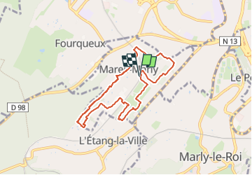


10.7 km | 13.7 km-effort


User


FREE GPS app for hiking
 SityTrail
IGN / Geographical institutes
SityTrail World
The world is yours!
Trail Walking of 6.9 km to be discovered at Ile-de-France, Yvelines, Mareil-Marly. This trail is proposed by Rando MLC.
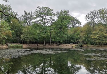
Cet itinéraire est trompeur. La ville n’est pas loin, mais c’est bucolique à souhait : bois et vergers, village qui a gardé ses vieilles pierres, vignes en embuscade.

Walking

Walking
Walking

Walking

Walking

Walking

On foot
Walking
Walking