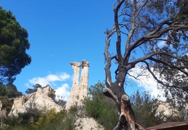
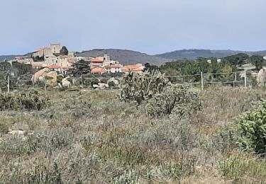
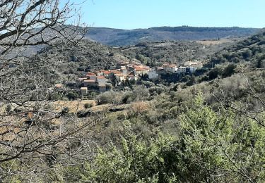
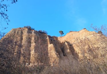
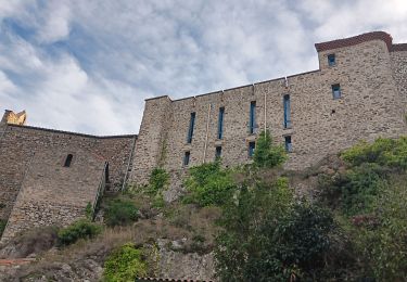
11 km | 15.3 km-effort
Belesta, les bornes frontières
Santblasi
User
Length
8.8 km
Max alt
432 m
Uphill gradient
249 m
Km-Effort
12.1 km
Min alt
264 m
Downhill gradient
262 m
Boucle
Yes
Creation date :
2024-10-06 08:07:19.892
Updated on :
2024-10-06 19:31:22.448
4h20
Difficulty : Medium
FREE GPS app for hiking
About
Trail Walking of 8.8 km to be discovered at Occitania, Pyrénées-Orientales, Bélesta. This trail is proposed by Santblasi.
Description
suivre les panneaux indicateurs, traces jaunes.
Départ parking du bas.
Puits à glace, bornes frontières.
Positioning
Country:
France
Region :
Occitania
Department/Province :
Pyrénées-Orientales
Municipality :
Bélesta
Location:
Unknown
Start:(Dec)
Start:(UTM)
467830 ; 4729438 (31T) N.
Comments
Trails nearby
ILLE TÊT 66 - PIC PEDROUS - CASESNOVES
Walking
Medium
(10)
Ille-sur-Têt,
Occitania,
Pyrénées-Orientales,
France
2h 22min
Yes
les Orgues - Ille-sur-Tet
Walking
Very easy
(1)
Ille-sur-Têt,
Occitania,
Pyrénées-Orientales,
France
2 km | 2.6 km-effort
1h 3min
Yes
Boucle du Pic Aubeill
Walking
Easy
(1)
Bélesta,
Occitania,
Pyrénées-Orientales,
France
8 km | 10.9 km-effort
2h 24min
Yes
CARAMANY 66 - balcons retenue sur l'Agly
Walking
Medium
(3)
Caramany,
Occitania,
Pyrénées-Orientales,
France
25 km | 34 km-effort
3h 59min
Yes
pic d'abeille
Walking
Very easy
(2)
Cassagnes,
Occitania,
Pyrénées-Orientales,
France
8.1 km | 10.8 km-effort
3h 0min
Yes
Montauban le château corral grandes or
Walking
Difficult
Montalba-le-Château,
Occitania,
Pyrénées-Orientales,
France
12.9 km | 16.3 km-effort
3h 42min
Yes
caramany
Walking
Medium
Caramany,
Occitania,
Pyrénées-Orientales,
France
8 km | 11.4 km-effort
3h 27min
Yes
puig pedros
Walking
Medium
Ille-sur-Têt,
Occitania,
Pyrénées-Orientales,
France
11.7 km | 15.6 km-effort
3h 57min
Yes
tour du pic aubeill
Walking
Medium
Bélesta,
Occitania,
Pyrénées-Orientales,
France
8.7 km | 12 km-effort
3h 45min
Yes