


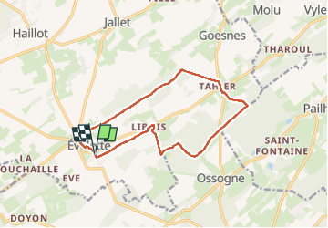


12.1 km | 14.4 km-effort


User


FREE GPS app for hiking
 SityTrail
IGN / Geographical institutes
SityTrail World
The world is yours!
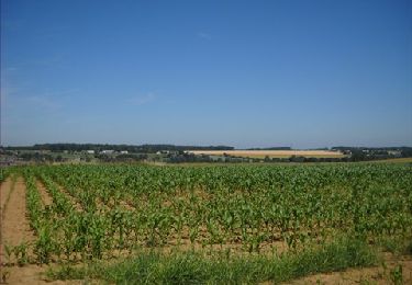
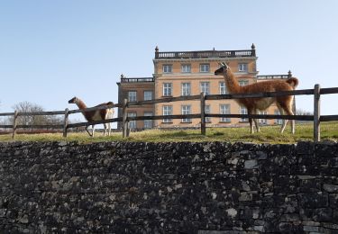
Trail Walking of 12.8 km to be discovered at Wallonia, Namur, Ohey. This trail is proposed by guyernage25.
Jolie balade condruzienne par bois, champs, pâtures et jolis hameaux avec des châteaux-fermes


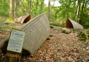
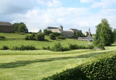
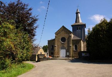
32 photos in total. Please click on a photo to see them all in the gallery.

Walking

Walking

Walking

Walking
Walking
Walking
Walking
Walking
Walking