


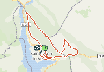

13.7 km | 22 km-effort


User GUIDE


FREE GPS app for hiking
 SityTrail
IGN / Geographical institutes
SityTrail World
The world is yours!
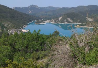
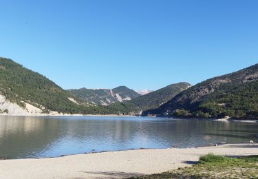
Trail Walking of 10.5 km to be discovered at Provence-Alpes-Côte d'Azur, Alpes-de-Haute-Provence, Saint-Julien-du-Verdon. This trail is proposed by Kargil.
Oublier les petits sentiers aux alentours du PR car nouvelle végétation en cours de pousse qui les ont plus ou moins effacé.


Walking

On foot

Walking
Walking

Other activity
Walking
Walking
Walking

Mountain bike