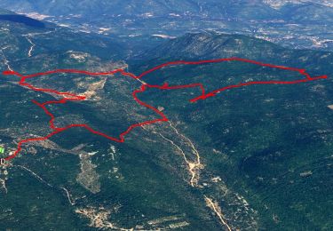
12.6 km | 16.7 km-effort
Siou blanc
Marcsaintcyr
User
Length
14.3 km
Max alt
780 m
Uphill gradient
230 m
Km-Effort
17.4 km
Min alt
599 m
Downhill gradient
232 m
Boucle
Yes
Creation date :
2024-10-01 07:31:51.533
Updated on :
2024-10-02 19:46:27.138
5h14
Difficulty : Medium
FREE GPS app for hiking
About
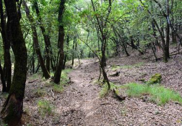
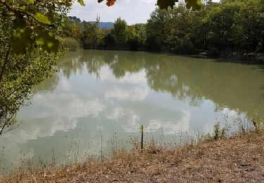
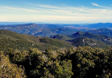
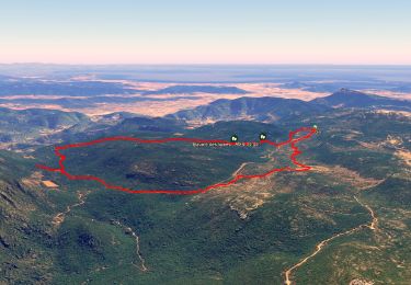
Trail Walking of 14.3 km to be discovered at Provence-Alpes-Côte d'Azur, Var, Signes. This trail is proposed by Marcsaintcyr.
Positioning
Country:
France
Region :
Provence-Alpes-Côte d'Azur
Department/Province :
Var
Municipality :
Signes
Location:
Unknown
Start:(Dec)
Start:(UTM)
737204 ; 4790535 (31T) N.
Comments
Trails nearby
Morières : la Garoute et la Baume des Lumes
Walking
Easy
(1)
Solliès-Toucas,
Provence-Alpes-Côte d'Azur,
Var,
France
6h 0min
Yes
SityTrail - siou blanc
Walking
Medium
(1)
Solliès-Toucas,
Provence-Alpes-Côte d'Azur,
Var,
France
12.5 km | 17.4 km-effort
6h 0min
Yes
SityTrail - montrieux gapeau
Walking
Very difficult
(2)
Méounes-lès-Montrieux,
Provence-Alpes-Côte d'Azur,
Var,
France
15.9 km | 23 km-effort
5h 14min
Yes
Chartreuse de Montreuil le jeune
Walking
Easy
(1)
Méounes-lès-Montrieux,
Provence-Alpes-Côte d'Azur,
Var,
France
11.9 km | 17.1 km-effort
5h 10min
Yes
Stade du Revest - Turcos - Cassini - Retour
Walking
Medium
Le Revest-les-Eaux,
Provence-Alpes-Côte d'Azur,
Var,
France
11.4 km | 18.2 km-effort
4h 0min
Yes
Sioux Blanc le cou de la Marquise
Walking
Easy
(1)
Solliès-Toucas,
Provence-Alpes-Côte d'Azur,
Var,
France
9.4 km | 12.6 km-effort
5h 5min
Yes
PLATEAU DE SIOUX BLANC - LES AIGUILLES DE VALBELLE - 10KM
Running
Medium
(2)
Signes,
Provence-Alpes-Côte d'Azur,
Var,
France
9.9 km | 13.4 km-effort
1h 45min
Yes
Plateau de Siou Blanc 1
Other activity
Very easy
(1)
Signes,
Provence-Alpes-Côte d'Azur,
Var,
France
3.2 km | 3.8 km-effort
1h 0min
Yes
Chartreuse de Montrieux, lac et vallée du Gapeau
Walking
Medium
Méounes-lès-Montrieux,
Provence-Alpes-Côte d'Azur,
Var,
France
14.3 km | 18.3 km-effort
4h 9min
Yes