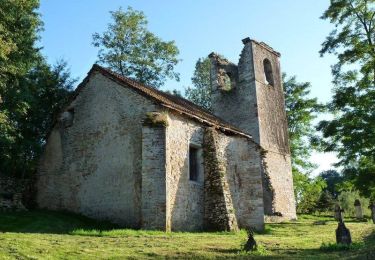
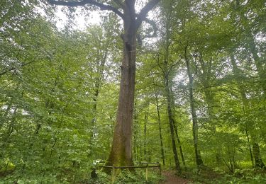
40 km | 47 km-effort
Gouhenans Longevelle
michelrenaud
User
Length
9.9 km
Max alt
351 m
Uphill gradient
173 m
Km-Effort
12.2 km
Min alt
270 m
Downhill gradient
171 m
Boucle
Yes
Creation date :
2024-09-25 11:59:00.188
Updated on :
2024-10-02 17:10:57.996
5h33
Difficulty : Easy
FREE GPS app for hiking
About
Trail Walking of 9.9 km to be discovered at Bourgogne-Franche-Comté, Haute-Saône, Gouhenans. This trail is proposed by michelrenaud.
Positioning
Country:
France
Region :
Bourgogne-Franche-Comté
Department/Province :
Haute-Saône
Municipality :
Gouhenans
Location:
Unknown
Start:(Dec)
Start:(UTM)
310013 ; 5274985 (32T) N.
Comments
Trails nearby
Boucle des Monts de l'Ognon (Variante) - Villersexel
Cycle
Difficult
Villersexel,
Bourgogne-Franche-Comté,
Haute-Saône,
France
1h 49min
Yes
La Voie du Sel et du Charbon - Villafans
Walking
Difficult
Villafans,
Bourgogne-Franche-Comté,
Haute-Saône,
France
14.2 km | 18.5 km-effort
4h 0min
Yes
La voie du Tacot - Athesans Etroitefontaine
Walking
Easy
Athesans-Étroitefontaine,
Bourgogne-Franche-Comté,
Haute-Saône,
France
8.3 km | 9.6 km-effort
2h 0min
Yes
gouhenans
Nordic walking
Easy
Gouhenans,
Bourgogne-Franche-Comté,
Haute-Saône,
France
9 km | 11.3 km-effort
2h 11min
Yes
Charbon et sel raccourcie pour
Walking
Medium
Villafans,
Bourgogne-Franche-Comté,
Haute-Saône,
France
9.4 km | 11.8 km-effort
3h 4min
Yes
Mercredi 03 transversale
4x4
Villersexel,
Bourgogne-Franche-Comté,
Haute-Saône,
France
153 km | 183 km-effort
6h 19min
No
sel et charbon
Walking
Easy
Villafans,
Bourgogne-Franche-Comté,
Haute-Saône,
France
12.1 km | 15.8 km-effort
2h 43min
No
Athesans
Walking
Medium
Athesans-Étroitefontaine,
Bourgogne-Franche-Comté,
Haute-Saône,
France
6.8 km | 7.9 km-effort
2h 2min
Yes
athesans plus voiture
Walking
Very easy
Athesans-Étroitefontaine,
Bourgogne-Franche-Comté,
Haute-Saône,
France
15.6 km | 18 km-effort
2h 14min
No