5.9 km | 9.4 km-effort
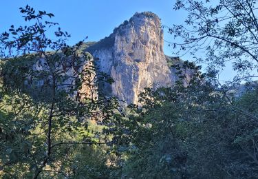
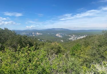
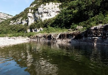
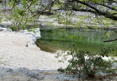
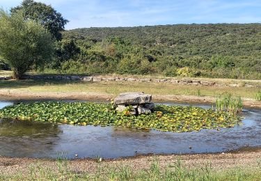
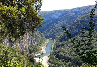
Les Gorges de l'Ardèche en boucle depuis Le Garn - 29 sept 24
morganee
User
Length
20 km
Max alt
404 m
Uphill gradient
657 m
Km-Effort
29 km
Min alt
56 m
Downhill gradient
658 m
Boucle
Yes
Creation date :
2024-09-29 09:08:39.719
Updated on :
2024-09-29 21:06:01.112
7h46
Difficulty : Medium
FREE GPS app for hiking
About
Trail Walking of 20 km to be discovered at Occitania, Gard, Le Garn. This trail is proposed by morganee.
Positioning
Country:
France
Region :
Occitania
Department/Province :
Gard
Municipality :
Le Garn
Location:
Unknown
Start:(Dec)
Start:(UTM)
617464 ; 4907176 (31T) N.
Comments
Trails nearby
Rapide de Gournier - Dolmen du Chanet
Walking
Difficult
(3)
Saint-Remèze,
Auvergne-Rhône-Alpes,
Ardèche,
France
2h 30min
Yes
les gorges de l'Ardèche
Walking
Medium
Labastide-de-Virac,
Auvergne-Rhône-Alpes,
Ardèche,
France
8.9 km | 14.1 km-effort
5h 14min
Yes
Le Garn à l’Ardeche
Walking
Very difficult
Le Garn,
Occitania,
Gard,
France
17.7 km | 26 km-effort
7h 4min
No
Gorges de l’Ardèche
Walking
Medium
Saint-Remèze,
Auvergne-Rhône-Alpes,
Ardèche,
France
15.1 km | 22 km-effort
8h 40min
No
Gorges de l'Ardèche
Walking
Difficult
Le Garn,
Occitania,
Gard,
France
17.8 km | 26 km-effort
5h 59min
Yes
Gorges de l'Ardèche - bivouac de Gournier
Walking
Easy
Saint-Remèze,
Auvergne-Rhône-Alpes,
Ardèche,
France
3.2 km | 6 km-effort
55min
Yes
180625 EnCours
Walking
Very easy
Saint-Remèze,
Auvergne-Rhône-Alpes,
Ardèche,
France
15.7 km | 23 km-effort
6h 40min
No
SVG 180624
Walking
Very easy
Labastide-de-Virac,
Auvergne-Rhône-Alpes,
Ardèche,
France
9.2 km | 14 km-effort
5h 35min
Yes