Trail Walking Montmort-Lucy - Montmort-Lucy du 30-09-2024   Les Virades - Photo

Montmort-Lucy du 30-09-2024 Les Virades

 VANDERPUTTENMi
VANDERPUTTENMi

User GUIDE

© OpenStreetMap contributors
Length
Length
19 km
Max alt
Max alt
237 m
Uphill gradient
Uphill gradient
296 m
Km-Effort
Km-Effort  
23 km
Min alt
Min alt
162 m
Downhill gradient
Downhill gradient
296 m
Boucle
Boucle
Yes
Creation date :
2024-09-29 06:29:20.704
Updated on :
2024-09-29 19:18:56.699

(0 Reviews)

Walking
Walking
5h12
Difficulty : Very difficult

Scan this QR Code to open this trail in the SityTrail application

FREE GPS app for hiking

Logo SityTrail SityTrail

IGN / Geographical institutes

Download SityTrail from the App Store Download SityTrail from Google Play

Logo SityTrail SityTrail World

The world is yours!

Download SityTrail from the App Store Download SityTrail from Google Play Download SityTrail on Huawei AppGallery

About

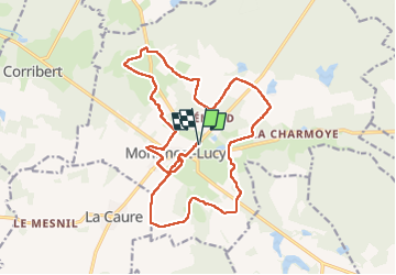
Trail Walking of 19 km to be discovered at Grand Est, Marne, Montmort-Lucy. This trail is proposed by VANDERPUTTENMi.

Elevation profile

Photos

Positioning

Country:
France
Region :
Grand Est
Department/Province :
Marne
Municipality :
Montmort-Lucy
Location:
Unknown
Start:(UTM)
559817 ; 5419655 (31U) N.

Trails nearby

Trail sport Montmort-Lucy - Dag 4 Lucy - Abbaye Notre Dame du Reclus - Photo
sport
carolinevk

sport

Very easy
Montmort-Lucy, Grand Est, Marne, France
21 km | 24 km-effort
Unknown
No
Trail Walking Montmort-Lucy - {01.03} - De Montmort-Lucy à Sézanne - Photo
Walking
phimar_2612

Walking

Very difficult
Montmort-Lucy, Grand Est, Marne, France
32 km | 37 km-effort
8h 41min
No
Trail Nordic walking Montmort-Lucy - MONTMORT à Sézanne - Photo
Nordic walking
BOUMA

Nordic walking

Very easy
Montmort-Lucy, Grand Est, Marne, France
37 km | 43 km-effort
7h 34min
No
Trail Walking Montmort-Lucy - 2012-04-24 Montmort-Lucy > Talus-Saint-Prix - Photo
Walking
mousetik

Walking

Easy
Montmort-Lucy, Grand Est, Marne, France
19.7 km | 22 km-effort
Unknown
No


Close
My subscriptions