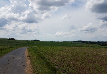
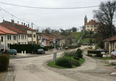
5.8 km | 7.3 km-effort
ju
julien tho
User
Length
3.9 km
Max alt
271 m
Uphill gradient
82 m
Km-Effort
4.9 km
Min alt
220 m
Downhill gradient
82 m
Boucle
Yes
Creation date :
2024-09-29 11:49:10.161
Updated on :
2024-09-29 13:07:05.117
1h16
Difficulty : Very easy
FREE GPS app for hiking
About
Trail Nordic walking of 3.9 km to be discovered at Grand Est, Moselle, Condé-Northen. This trail is proposed by julien tho.
Positioning
Country:
France
Region :
Grand Est
Department/Province :
Moselle
Municipality :
Condé-Northen
Location:
Unknown
Start:(Dec)
Start:(UTM)
311290 ; 5448633 (32U) N.
Comments
Trails nearby
forêt Silly-sur-Nied
Walking
Easy
(1)
Silly-sur-Nied,
Grand Est,
Moselle,
France
5.9 km | 7.3 km-effort
1h 40min
Yes
Fer à cheval
Walking
Easy
Courcelles-Chaussy,
Grand Est,
Moselle,
France
3.2 km | 3.9 km-effort
1h 0min
Yes
Dimanche 26 août 2018
Walking
Easy
Charleville-sous-Bois,
Grand Est,
Moselle,
France
4.8 km | 6.1 km-effort
1h 28min
Yes
venetië dag 6
Cycle
Medium
Varize-Vaudoncourt,
Grand Est,
Moselle,
France
73 km | 83 km-effort
4h 22min
No
guinkirchek
Other activity
Easy
Guinkirchen,
Grand Est,
Moselle,
France
5.5 km | 6.4 km-effort
1h 2min
Yes
Randonnée du Haut Chemin - La boucle des écoliers - Charleville sous Bois
Walking
Easy
Charleville-sous-Bois,
Grand Est,
Moselle,
France
2.8 km | 4.2 km-effort
40min
Yes
Condé à Hayes
Walking
Easy
Condé-Northen,
Grand Est,
Moselle,
France
17.2 km | 21 km-effort
Unknown
Yes
Charleville sous bois
Walking
Very easy
Charleville-sous-Bois,
Grand Est,
Moselle,
France
9.3 km | 12.3 km-effort
3h 1min
Yes