


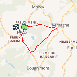


15.6 km | 19.4 km-effort


User


FREE GPS app for hiking
 SityTrail
IGN / Geographical institutes
SityTrail World
The world is yours!
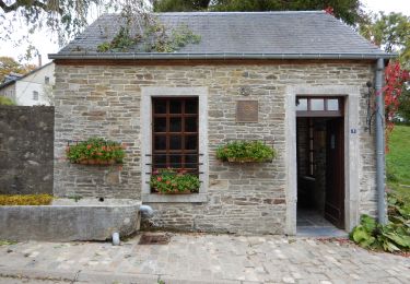
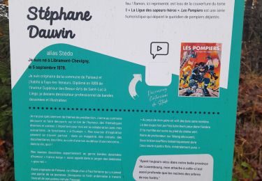
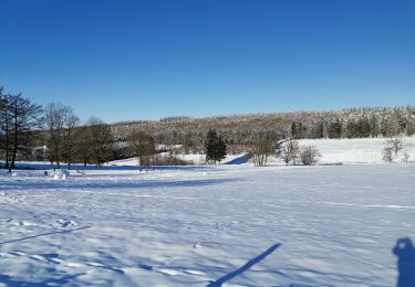
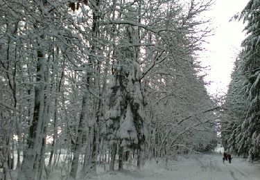
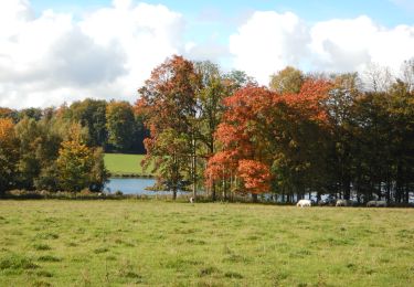
Trail Walking of 8.5 km to be discovered at Wallonia, Luxembourg, Libramont-Chevigny. This trail is proposed by michel.counotte.
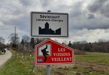
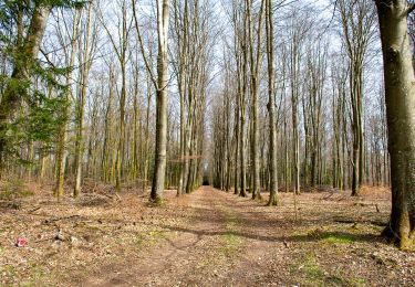
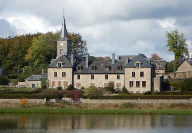
Beaux paysages et traversée de bois. Etant donné les nombreux chemins privés, difficile de faire des parcours variés dans cette région

Walking
Walking
On foot
Walking
Walking
Walking
Walking
Walking
Walking