


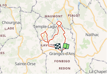

12 km | 15.3 km-effort


User


FREE GPS app for hiking
 SityTrail
IGN / Geographical institutes
SityTrail World
The world is yours!
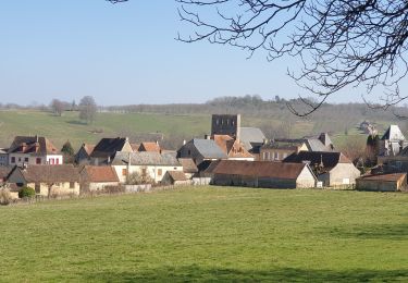
Trail Walking of 11 km to be discovered at New Aquitaine, Dordogne, Granges-d'Ans. This trail is proposed by swp648.
Départ parking à côté de l'église

Walking
Walking

Mountain bike
Walking

Mountain bike
Walking

Walking
Walking

On foot