


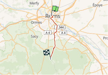


18.1 km | 21 km-effort


User


FREE GPS app for hiking
 SityTrail
IGN / Geographical institutes
SityTrail World
The world is yours!
Trail Walking of 19.2 km to be discovered at Grand Est, Marne, Reims. This trail is proposed by clalaur.
Fait le vendredi 20 septembre 2024.
De Reims à Germaine (Les Haies) (gare SNCF


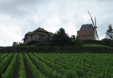
27 photos in total. Please click on a photo to see them all in the gallery.

Walking

Running

Hybrid bike

Cycle

Running

Running

Walking
Walking

Walking