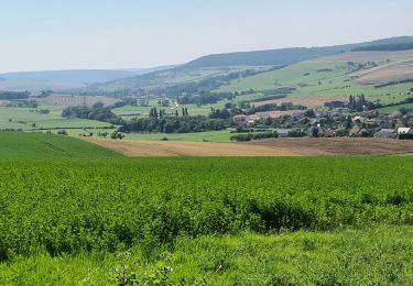
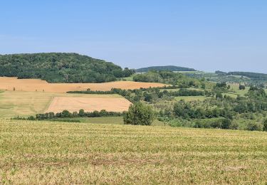
12.1 km | 15.5 km-effort
SityTrail - villers les moivrons
ZAMBAUX
User
Length
12.3 km
Max alt
406 m
Uphill gradient
309 m
Km-Effort
16.4 km
Min alt
229 m
Downhill gradient
307 m
Boucle
Yes
Creation date :
2024-09-17 17:30:54.364
Updated on :
2024-09-17 17:43:45.642
3h43
Difficulty : Difficult
FREE GPS app for hiking
About
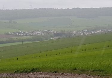
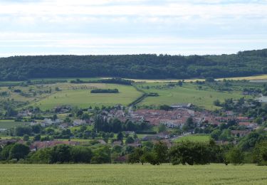
Trail Walking of 12.3 km to be discovered at Grand Est, Meurthe-et-Moselle, Villers-lès-Moivrons. This trail is proposed by ZAMBAUX.
Description
13kms 318 den
Positioning
Country:
France
Region :
Grand Est
Department/Province :
Meurthe-et-Moselle
Municipality :
Villers-lès-Moivrons
Location:
Unknown
Start:(Dec)
Start:(UTM)
298578 ; 5410954 (32U) N.
Comments
Trails nearby
LEYR - LE PLATEAU DE LA ROCHETTE
Walking
Easy
Leyr,
Grand Est,
Meurthe-et-Moselle,
France
5h 59min
Yes
MONTENOY - LE COL DE VASSUCHAMP
Walking
Easy
Montenoy,
Grand Est,
Meurthe-et-Moselle,
France
12.4 km | 16.4 km-effort
4h 33min
Yes
chenicourt (54)
Walking
Very easy
Chenicourt,
Grand Est,
Meurthe-et-Moselle,
France
8.4 km | 9.5 km-effort
2h 44min
Yes
Circuit L : Variant Faulx
On foot
Easy
Faulx,
Grand Est,
Meurthe-et-Moselle,
France
6.3 km | 6.9 km-effort
1h 34min
No
Leyr Villers les Moivrons
Walking
Medium
Leyr,
Grand Est,
Meurthe-et-Moselle,
France
32 km | 42 km-effort
6h 38min
No
Leyr - plateau de la Rochette
Walking
Easy
Leyr,
Grand Est,
Meurthe-et-Moselle,
France
11.8 km | 15.1 km-effort
6h 4min
Yes
ADN - Cesenatico Tronçon 4
Bicycle tourism
Very difficult
Chenicourt,
Grand Est,
Meurthe-et-Moselle,
France
75 km | 85 km-effort
Unknown
No
Leyr 15 000m +432m
Walking
Very difficult
Leyr,
Grand Est,
Meurthe-et-Moselle,
France
15 km | 21 km-effort
4h 42min
Yes