


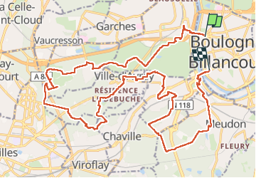


23 km | 31 km-effort

User GUIDE


FREE GPS app for hiking
 SityTrail
IGN / Geographical institutes
SityTrail World
The world is yours!
Trail On foot of 29 km to be discovered at Ile-de-France, Hauts-de-Seine, Boulogne-Billancourt. This trail is proposed by chessyca.
Départ pont de St Cloud et arrivée pont de Sèvres
Ne pas rater les trésors de l'église de Ville d'Avray comprenant plusieurs tableaux de Corot
Pas de difficulté particulière à signaler . Un dénivelé agréable et un très beau parcours
Tracée et menée par Didier pour le RCY


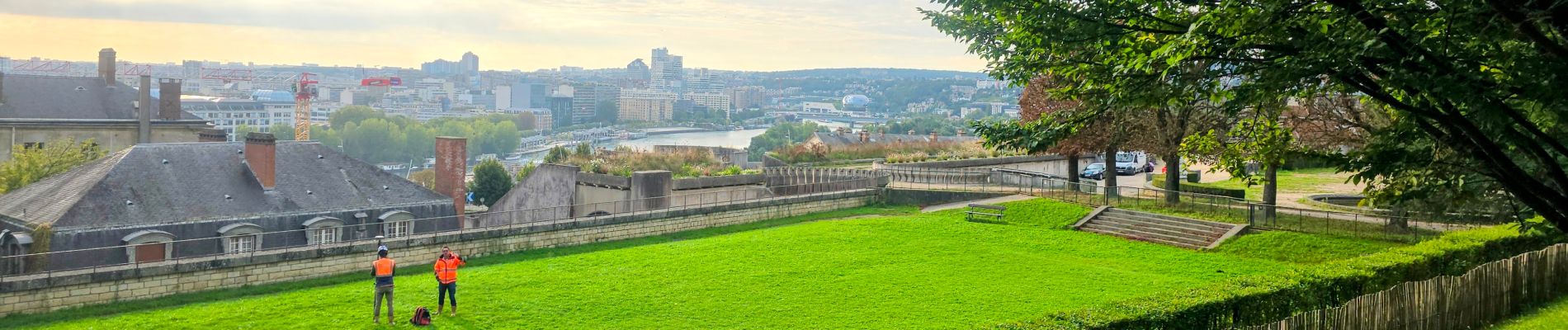
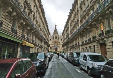
27 photos in total. Please click on a photo to see them all in the gallery.

Walking

Walking

Walking

Walking

Walking
Walking

Cycle

Walking

Walking