


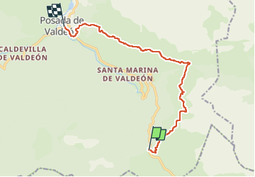

9.5 km | 14.9 km-effort


User GUIDE


FREE GPS app for hiking
 SityTrail
IGN / Geographical institutes
SityTrail World
The world is yours!
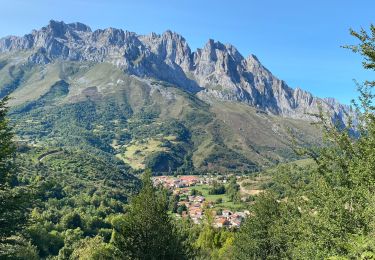
Trail Walking of 12.3 km to be discovered at Castile and León, Unknown, Posada de Valdeón. This trail is proposed by antignacs.


Walking