


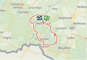


19.1 km | 27 km-effort

User


FREE GPS app for hiking
 SityTrail
IGN / Geographical institutes
SityTrail World
The world is yours!
Trail Walking of 26 km to be discovered at Wallonia, Luxembourg, Bouillon. This trail is proposed by Wilfriedper.
Rando très sportive au niveau des dénivelé.
Pour la dernière côte, bien suivre le losange vert jusqu'en haut car le chemin n'est pas toujours évident à trouver.


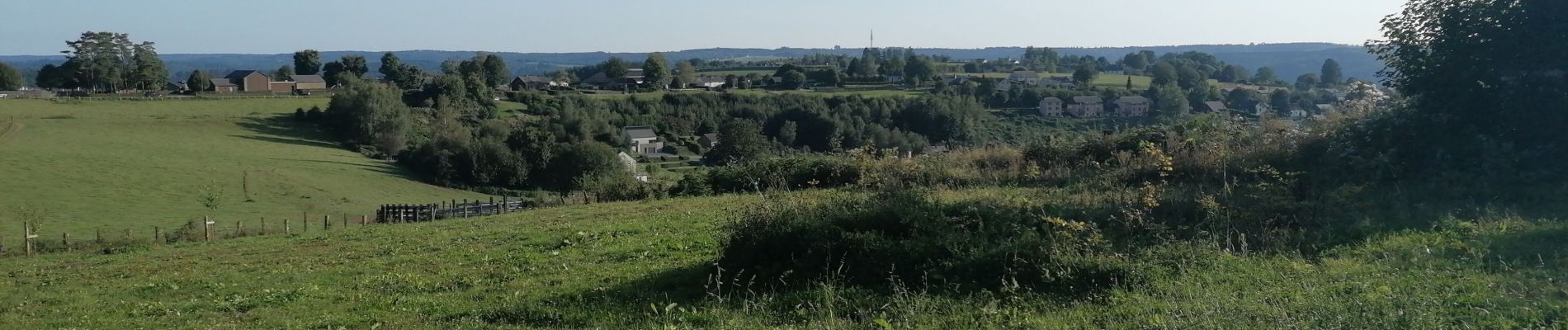
23 photos in total. Please click on a photo to see them all in the gallery.

Walking

Walking

Walking

Walking

Walking

Walking

Walking

Walking

Walking