


9 km | 20 km-effort

User


FREE GPS app for hiking
 SityTrail
IGN / Geographical institutes
SityTrail World
The world is yours!
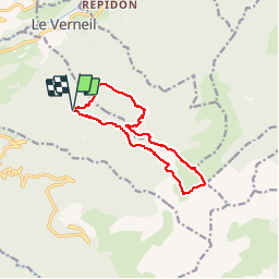
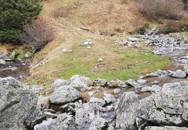
Trail Walking of 12.6 km to be discovered at Auvergne-Rhône-Alpes, Savoy, Presle. This trail is proposed by ddaniel.
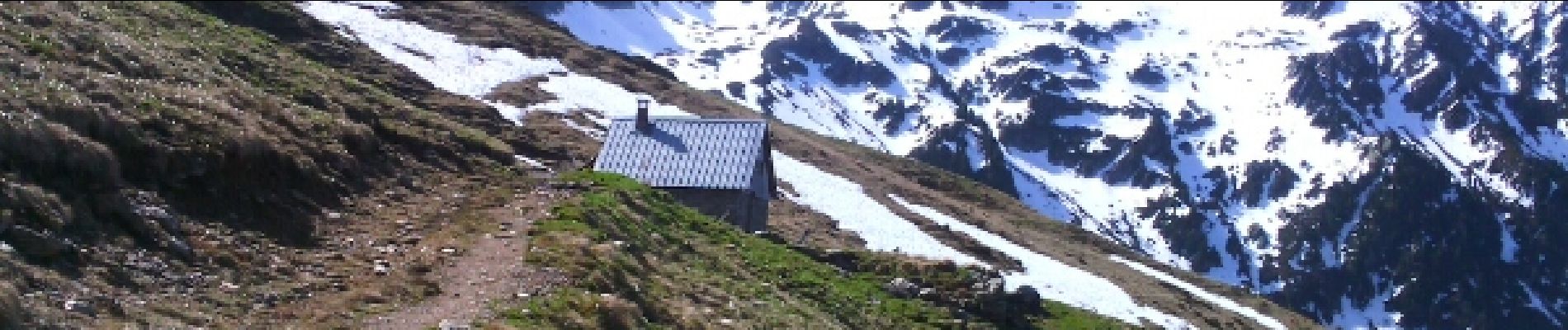
Depuis Prodin, le Chapotet par les refuges de la Grande montagne de Presle et des Plattières. Retour par le chalet de la Grande montagne du Verneil


Walking
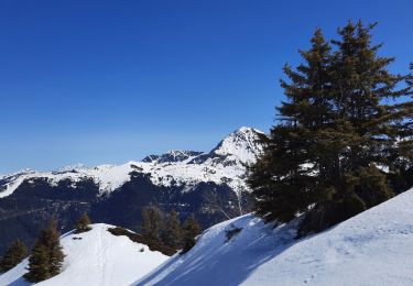
Touring skiing

Mountain bike
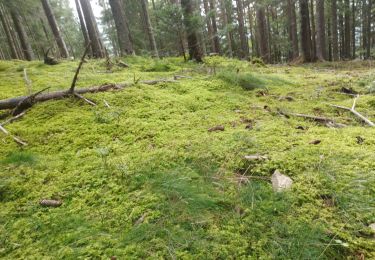
Walking
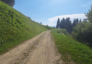
Walking
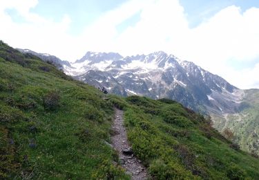
Walking
Walking
Walking
Walking