


 (null)29c1bcfc9f756476f847ffe06a03cbd78")
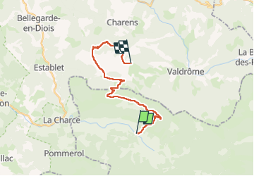

5.8 km | 10.9 km-effort


FREE GPS app for hiking
 SityTrail
IGN / Geographical institutes
SityTrail World
The world is yours!
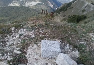
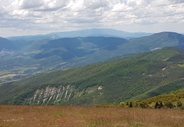
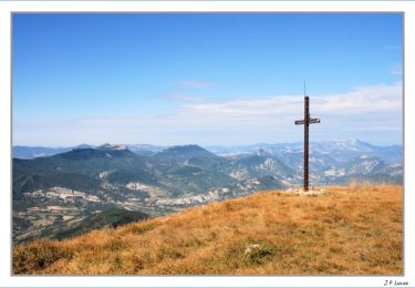
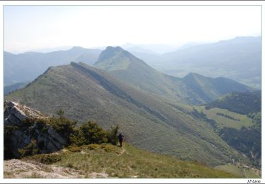
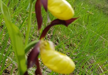
Trail Horseback riding of 20 km to be discovered at Provence-Alpes-Côte d'Azur, Hautes-Alpes, Valdoule. This trail is proposed by (null) (null)29c1bcfc9f756476f847ffe06a03cbd78.
Nordic walking
Walking
Walking
Walking

Walking
Walking
Walking
Walking
Walking