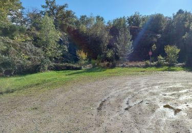
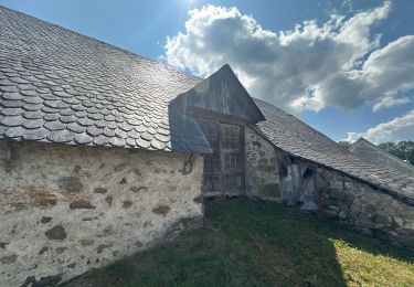
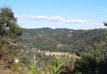
15.6 km | 23 km-effort
Bort les Orgues Lanobre
taguette
User
Length
11.7 km
Max alt
646 m
Uphill gradient
339 m
Km-Effort
15.5 km
Min alt
428 m
Downhill gradient
129 m
Boucle
No
Creation date :
2024-09-13 09:39:40.425
Updated on :
2024-09-13 13:36:46.329
3h56
Difficulty : Difficult
FREE GPS app for hiking
About
Trail Walking of 11.7 km to be discovered at New Aquitaine, Corrèze, Bort-les-Orgues. This trail is proposed by taguette.
Positioning
Country:
France
Region :
New Aquitaine
Department/Province :
Corrèze
Municipality :
Bort-les-Orgues
Location:
Unknown
Start:(Dec)
Start:(UTM)
460859 ; 5027920 (31T) N.
Comments
Trails nearby
La Pyramide, le château Pierrefitte, les Orgues
Walking
Easy
(2)
Sarroux - Saint-Julien,
New Aquitaine,
Corrèze,
France
4h 28min
Yes
Barrage de Bort les Orgues - Château de Val
Walking
Difficult
Bort-les-Orgues,
New Aquitaine,
Corrèze,
France
12.1 km | 15.3 km-effort
3h 28min
Yes
Chute de la Saule
Walking
Medium
Bort-les-Orgues,
New Aquitaine,
Corrèze,
France
5.7 km | 8.3 km-effort
1h 53min
Yes
Tour des orgues à Bort les Orgues
Walking
Medium
Bort-les-Orgues,
New Aquitaine,
Corrèze,
France
5.4 km | 7.9 km-effort
1h 53min
Yes
Bort les orgues depuis château de val
sport
Very easy
Lanobre,
Auvergne-Rhône-Alpes,
Cantal,
France
7.4 km | 9.3 km-effort
Unknown
Yes
La balade de Peyroux
Walking
Medium
Champs-sur-Tarentaine-Marchal,
Auvergne-Rhône-Alpes,
Cantal,
France
8.2 km | 11.4 km-effort
2h 16min
Yes
Les Orgues de Bort-les-Orgues
Walking
Difficult
Bort-les-Orgues,
New Aquitaine,
Corrèze,
France
9.4 km | 15.1 km-effort
3h 28min
Yes
champ sur Tarentaine
Walking
Easy
(1)
Champs-sur-Tarentaine-Marchal,
Auvergne-Rhône-Alpes,
Cantal,
France
9.1 km | 13.1 km-effort
2h 58min
Yes
Les Orgues de Bort Les O.
Walking
Easy
(3)
Bort-les-Orgues,
New Aquitaine,
Corrèze,
France
4.6 km | 7 km-effort
1h 17min
Yes