


9 km | 14.3 km-effort

User


FREE GPS app for hiking
 SityTrail
IGN / Geographical institutes
SityTrail World
The world is yours!
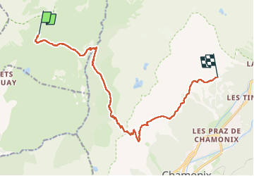
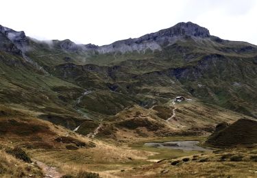
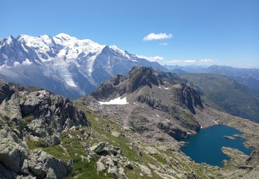
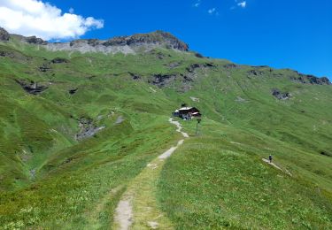
Trail Walking of 14.8 km to be discovered at Auvergne-Rhône-Alpes, Upper Savoy, Passy. This trail is proposed by Greg813.
Trek de 3 jours dans le massif des Aiguilles Rouges.
Etape 2 : Du refuge de Moëde Anderne à celui de la Flégère par le col du Brévent.


Walking

Walking

Walking
Walking
Walking
Walking
Walking
Walking
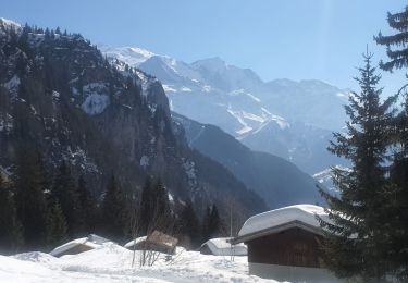
Snowshoes