


10.3 km | 24 km-effort

User


FREE GPS app for hiking
 SityTrail
IGN / Geographical institutes
SityTrail World
The world is yours!
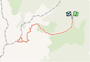
Trail On foot of 10.9 km to be discovered at Auvergne-Rhône-Alpes, Isère, Pellafol. This trail is proposed by Yann POUJOL.
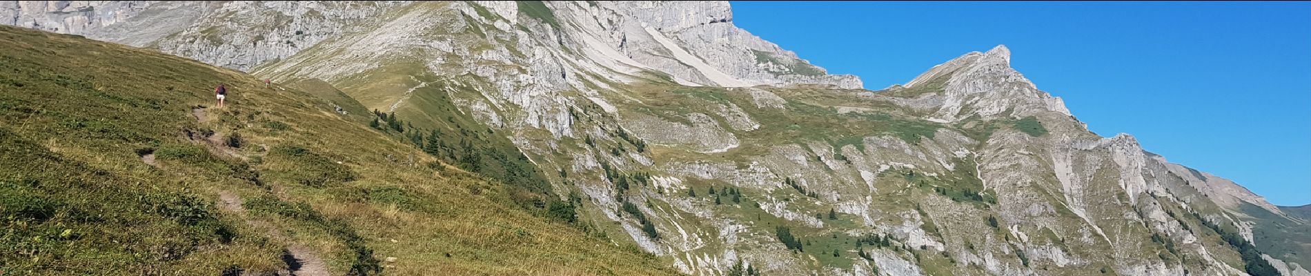
La grande tête de l'Obiou
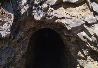
Passage par la grotte du petit Obiou (Mur de glace) s'équipé d'une lampe.
Passage par la chatière (4m d'escalade et passage étroit)


Walking
Walking

Walking

Walking

Walking
Walking
Walking
Walking
Walking