


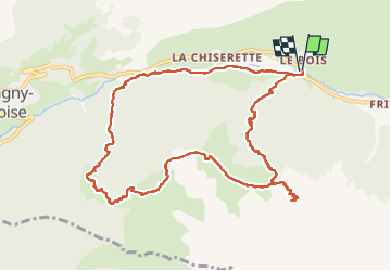

24 km | 44 km-effort


User


FREE GPS app for hiking
 SityTrail
IGN / Geographical institutes
SityTrail World
The world is yours!
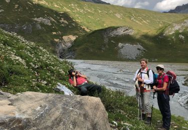
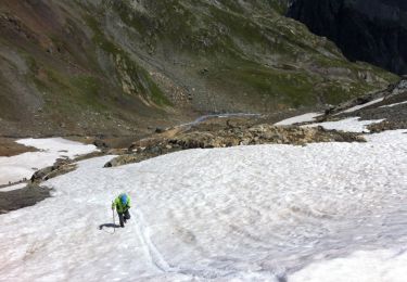
Trail Walking of 12.6 km to be discovered at Auvergne-Rhône-Alpes, Savoy, Champagny-en-Vanoise. This trail is proposed by Chabard.
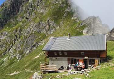
Refuge du plan des gouilles par Les enclos du Seil et les chalets de Méribel.
Attention certains passages sont aériens et demandent de mettre les mains

Walking
Walking
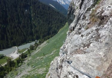
Via ferrata

Walking
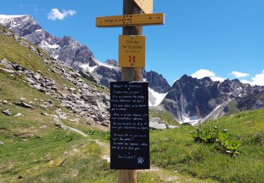
Walking

Walking
Walking

Walking
Walking