


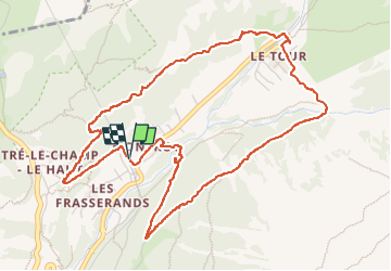


6.1 km | 8.7 km-effort

Par Mumu.larandonneuse


FREE GPS app for hiking
 SityTrail
IGN / Geographical institutes
SityTrail World
The world is yours!
Trail Walking of 6.2 km to be discovered at Auvergne-Rhône-Alpes, Upper Savoy, Chamonix-Mont-Blanc. This trail is proposed by Je vous emmène sur mes chemins .
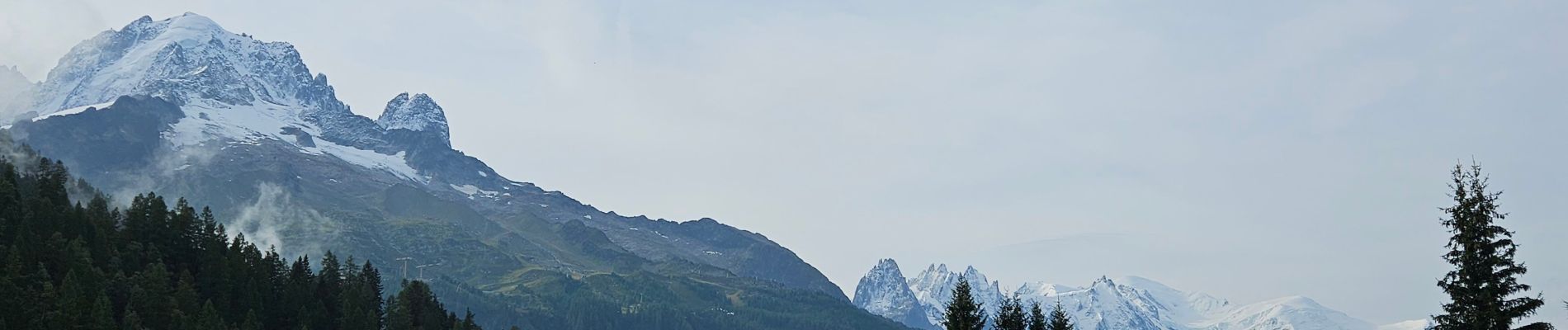
Le Tour, station de ski, en fin de route, entourée des montagnes, face au Mont-Blanc et aux Aiguilles Rouges.
Près du Col des Montets, à 7 km de la Suisse 🇨🇭.


24 photos in total. Please click on a photo to see them all in the gallery.

Walking

Walking

Walking

Winter sports

Walking

Walking

Walking

Walking

Walking