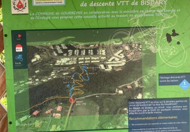
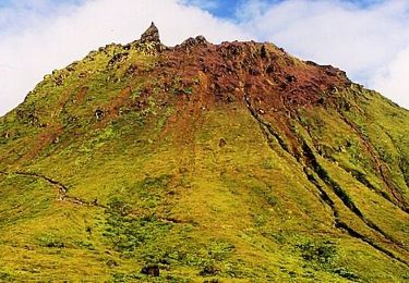
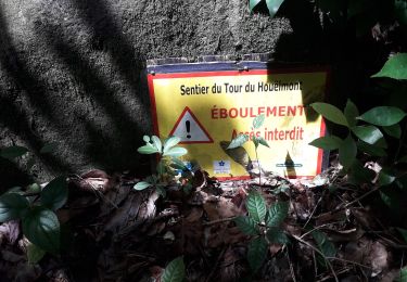
6.5 km | 11.5 km-effort
Bisdary
sameja
User
Length
4 km
Max alt
418 m
Uphill gradient
270 m
Km-Effort
7.6 km
Min alt
142 m
Downhill gradient
267 m
Boucle
Yes
Creation date :
2024-09-10 12:14:40.0
Updated on :
2024-09-11 11:49:04.677
51m
Difficulty : Difficult
FREE GPS app for hiking
About
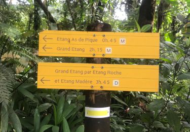
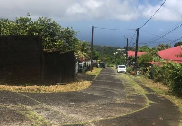
Trail Trail of 4 km to be discovered at Guadeloupe, Unknown, Gourbeyre. This trail is proposed by sameja.
Description
Centre volcanologies
Positioning
Country:
France
Region :
Guadeloupe
Department/Province :
Unknown
Municipality :
Gourbeyre
Location:
Unknown
Start:(Dec)
Start:(UTM)
638683 ; 1767129 (20P) N.
Comments
Trails nearby
Houėlmont observatoire volcanologique
Trail
Difficult
Gourbeyre,
Guadeloupe,
Unknown,
France
6.4 km | 11.5 km-effort
1h 22min
Yes
Gourbeyre
Trail
Difficult
Gourbeyre,
Guadeloupe,
Unknown,
France
17.1 km | 27 km-effort
2h 10min
Yes
Palmiste trace du radar
Trail
Difficult
Trois-Rivières,
Guadeloupe,
Unknown,
France
13.5 km | 22 km-effort
3h 2min
No
Volcano Trail - Grand Raid de la Région Guadeloupe - Édition 2009
Running
Very difficult
Basse-Terre,
Guadeloupe,
Unknown,
France
44 km | 86 km-effort
11h 30min
No
La parabole
Walking
Medium
Gourbeyre,
Guadeloupe,
Unknown,
France
7.1 km | 9.6 km-effort
2h 17min
Yes
reco exam poudriere
Walking
Medium
Gourbeyre,
Guadeloupe,
Unknown,
France
5.5 km | 9.4 km-effort
2h 37min
Yes
Boucle du Morne Cadet
Walking
Difficult
Gourbeyre,
Guadeloupe,
Unknown,
France
9.8 km | 18.7 km-effort
5h 46min
Yes
cascade plessis
Walking
Very easy
Vieux-Fort,
Guadeloupe,
Unknown,
France
11.2 km | 21 km-effort
46min
No