


9 km | 14.3 km-effort

Par Mumu.larandonneuse


FREE GPS app for hiking
 SityTrail
IGN / Geographical institutes
SityTrail World
The world is yours!
Trail Walking of 10.5 km to be discovered at Auvergne-Rhône-Alpes, Upper Savoy, Passy. This trail is proposed by Je vous emmène sur mes chemins .
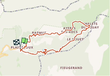
J10 - R8 - Plaine Joux - Les Ayères - Lac Vert
⛷️ Plaine-Joux se situe à 1352 mètres d'altitude, sur un plateau de rêve, avec une nature préservée, riche et sauvage, le tout face au Mont-Blanc.
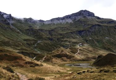
💦Le Lac Vert est un lac pittoresque enchassé dans un cuvette bordée d'épicéas, au pied des rochers des Fiz.
🏚 Pause à 1640 m au hameau des Ayères des Pierrières au son des cloches 🐂🐃
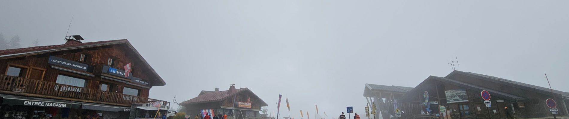
🏚🍽☕️ Le Chatelet d'Ayères


34 photos in total. Please click on a photo to see them all in the gallery.

Walking

Walking

Walking

Walking

Running

Walking

Walking

Walking
Walking
J27 - R25 - 🍂🍁 Plaine-Joux - Les Ayères - Lac Vert 🍁🍂 Refaite avec les filles.