


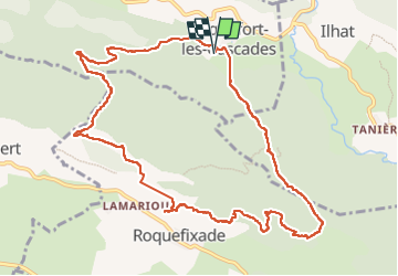

6.5 km | 10 km-effort

User


FREE GPS app for hiking
 SityTrail
IGN / Geographical institutes
SityTrail World
The world is yours!
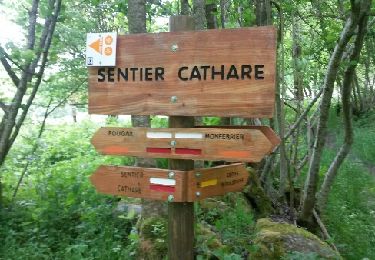
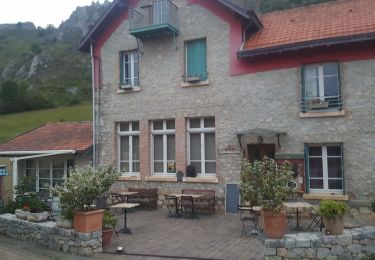
Trail Walking of 12.5 km to be discovered at Occitania, Ariège, Roquefort-les-Cascades. This trail is proposed by caccini.
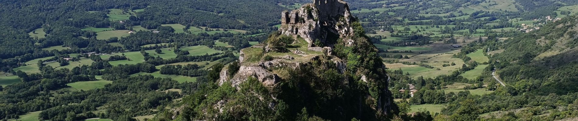
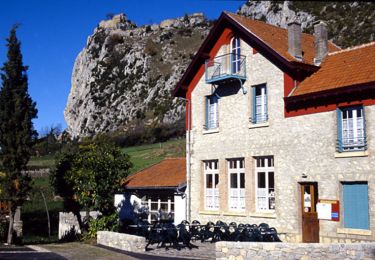
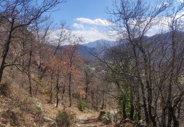
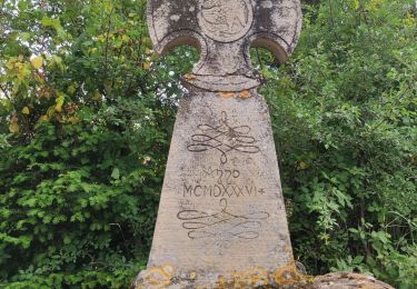
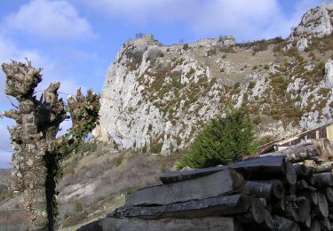
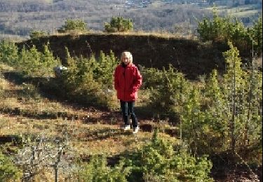
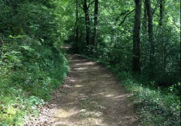
Randonnée en boucle au départ de Roquefort des Cascades en direction du château Roquefixade.
Belle randonnée Ariégeoise chargée d'histoire.

Walking
Walking
On foot
Walking
Coupling

Walking
Walking