18.4 km | 26 km-effort
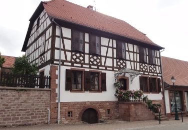
Kehlingen -Pigeonnier
MAD-CVW
User
Length
8.3 km
Max alt
446 m
Uphill gradient
252 m
Km-Effort
11.5 km
Min alt
268 m
Downhill gradient
191 m
Boucle
No
Creation date :
2024-09-08 09:36:02.318
Updated on :
2024-09-08 12:28:12.876
2h06
Difficulty : Medium
FREE GPS app for hiking
About
Trail Walking of 8.3 km to be discovered at Rhineland-Palatinate, Südwestpfalz, Bobenthal. This trail is proposed by MAD-CVW.
Description
Randonnée hors balisage
Positioning
Country:
Germany
Region :
Rhineland-Palatinate
Department/Province :
Südwestpfalz
Municipality :
Bobenthal
Location:
Unknown
Start:(Dec)
Start:(UTM)
416510 ; 5432681 (32U) N.
Comments
Trails nearby
2018-04-07 CRTE Alsace Loewenstein Hohenbourg Fleckenstein
Horseback riding
Medium
(1)
Wingen,
Grand Est,
Bas-Rhin,
France
3h 8min
Yes
Rotes Kreuz
On foot
Easy
Wissembourg,
Grand Est,
Bas-Rhin,
France
6.5 km | 9.6 km-effort
2h 11min
No
Rectangle jaune barré de blanc
On foot
Easy
Lembach,
Grand Est,
Bas-Rhin,
France
11.8 km | 18.6 km-effort
4h 14min
No
Hasenkopf-Runde
On foot
Easy
Bobenthal,
Rhineland-Palatinate,
Südwestpfalz,
Germany
7.9 km | 10.9 km-effort
2h 28min
No
Hirzeck-Gipfel-Steig
On foot
Easy
Bobenthal,
Rhineland-Palatinate,
Südwestpfalz,
Germany
14.1 km | 19.3 km-effort
4h 22min
Yes