


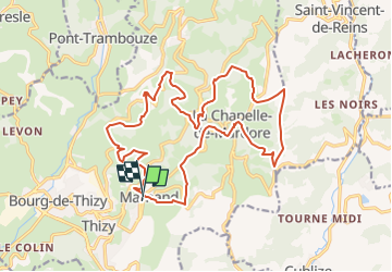

16.4 km | 23 km-effort


User


FREE GPS app for hiking
 SityTrail
IGN / Geographical institutes
SityTrail World
The world is yours!
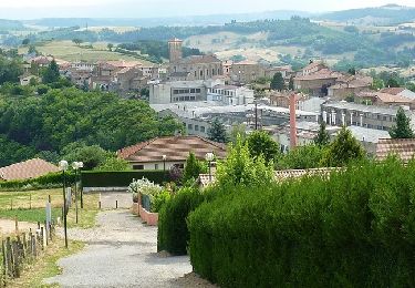
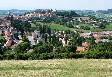
Trail Equestrian of 21 km to be discovered at Auvergne-Rhône-Alpes, Rhône, Thizy-les-Bourgs. This trail is proposed by jpforez.
Rando annuelle organisée par le Trekpad

Walking
Walking
Walking
Mountain bike
Mountain bike
Mountain bike
Mountain bike
Mountain bike

Mountain bike