


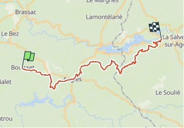

15.7 km | 22 km-effort


User


FREE GPS app for hiking
 SityTrail
IGN / Geographical institutes
SityTrail World
The world is yours!
Trail Walking of 31 km to be discovered at Occitania, Tarn, Lasfaillades. This trail is proposed by Alain28/01.
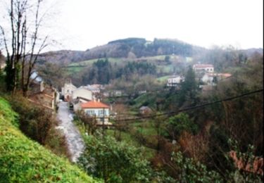
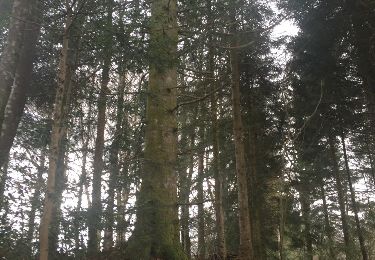
chemin agréable à travers de belles forêts.
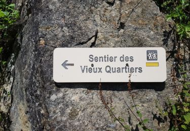
Walking
Mountain bike

Walking

Nordic walking
Walking
Walking
Walking
Walking
Walking