


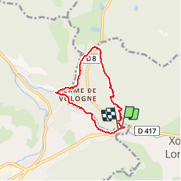

11.3 km | 16.2 km-effort

User


FREE GPS app for hiking
 SityTrail
IGN / Geographical institutes
SityTrail World
The world is yours!
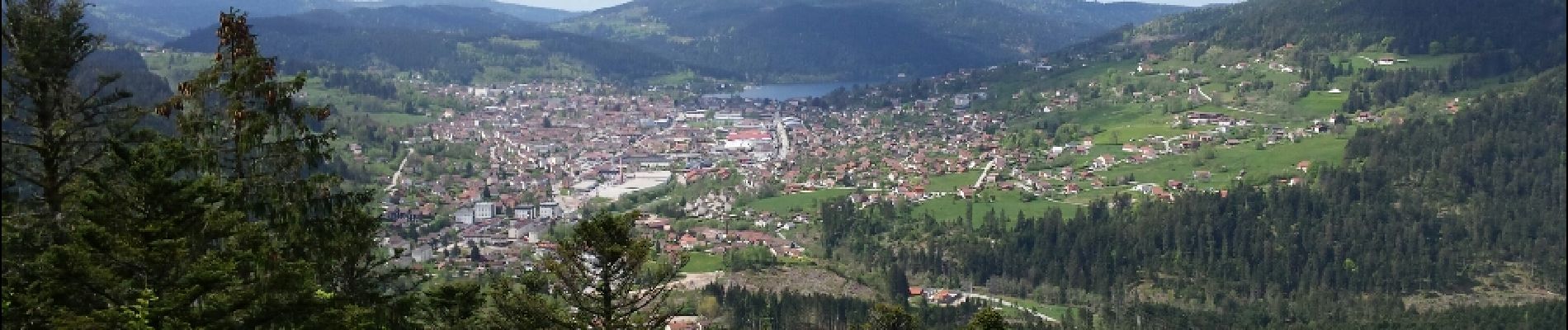
Trail Walking of 5.6 km to be discovered at Grand Est, Vosges, Gérardmer. This trail is proposed by VacheKiri67.
Faite le 07/05/2015 avec notre fils de 10 ans. D'après : Mes balades préférées dans les Vosges de Daniel Wenger - N°17 Les Saut des Cuves, aux portes de Gérardmer. La durée indiquée pour le circuit est de 1h45.


Walking

Walking

Nordic walking

Walking

Walking

Walking

Walking

Walking

Walking
Le premier tiers du parcours est superbe. Courte marche facile.