


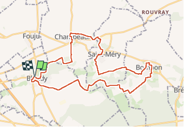

20 km | 22 km-effort

User GUIDE


FREE GPS app for hiking
 SityTrail
IGN / Geographical institutes
SityTrail World
The world is yours!
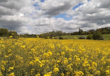
Trail Walking of 21 km to be discovered at Ile-de-France, Seine-et-Marne, Blandy. This trail is proposed by chessyca.
Rando tracée et menée par François pour le Rcy
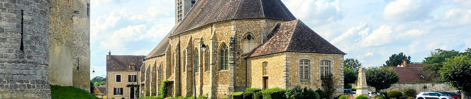
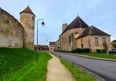
Un parcours toujours scénique sans difficultés hormis la potentielle boue selon les conditions climatiques


Walking
Walking

Walking

Walking

Walking
Walking

Walking
Walking
Walking