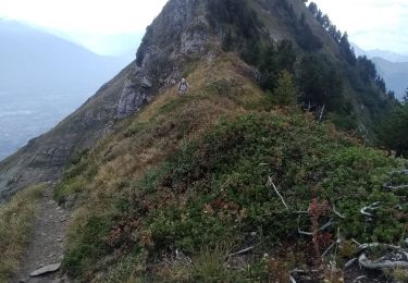
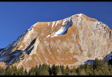
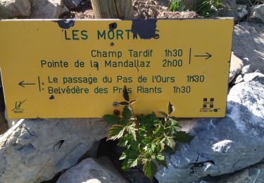
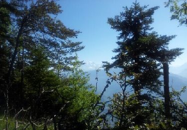
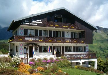
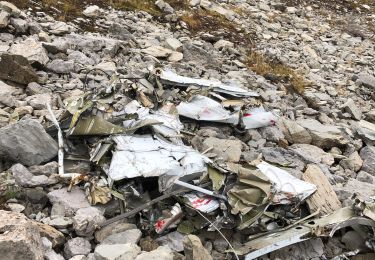
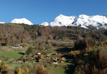
Trail Electric bike Ugine - BOUCLE ARPETTAZ depuis Soney - Photo

BOUCLE ARPETTAZ depuis Soney

© OpenStreetMap contributors
Length
Length
40 km
Max alt
Max alt
1587 m
Uphill gradient
Uphill gradient
1346 m
Km-Effort
Km-Effort  
58 km
Min alt
Min alt
407 m
Downhill gradient
Downhill gradient
1347 m
Boucle
Boucle
Yes
Creation date :
2024-09-03 19:28:33.371
Updated on :
2024-09-04 14:07:50.165

(0 Reviews)

Electric bike
Electric bike
0m
Difficulty : Difficult

Scan this QR Code to open this trail in the SityTrail application

FREE GPS app for hiking

Logo SityTrail SityTrail

IGN / Geographical institutes

Download SityTrail from the App Store Download SityTrail from Google Play

Logo SityTrail SityTrail World

The world is yours!

Download SityTrail from the App Store Download SityTrail from Google Play Download SityTrail on Huawei AppGallery

About

Trail Electric bike of 40 km to be discovered at Auvergne-Rhône-Alpes, Savoy, Ugine. This trail is proposed by Jean-Paulchoux.

Elevation profile

Positioning

Country:
France
Region :
Auvergne-Rhône-Alpes
Department/Province :
Savoy
Municipality :
Ugine
Location:
Unknown
Start:(UTM)
297030 ; 5070729 (32T) N.

Trails nearby

Trail Walking Marthod - Dent de Cons en boucle depuis Raffort - Photo
Walking
GUIDE
nadd73

Walking

Medium
Marthod, Auvergne-Rhône-Alpes, Savoy, France
8.5 km | 23 km-effort
4h 21min
No
Trail Walking Marthod - Santier botanique - Photo
Walking
biollay

Walking

Difficult
Marthod, Auvergne-Rhône-Alpes, Savoy, France
7.3 km | 12 km-effort
2h 49min
Yes
Trail Walking Le Bouchet-Mont-Charvin - Aulp de Marlens - Photo
Walking
flip38

Walking

Difficult
Le Bouchet-Mont-Charvin, Auvergne-Rhône-Alpes, Upper Savoy, France
17.1 km | 31 km-effort
5h 26min
Yes
Trail Via ferrata Ugine - 73 Charvin arête sud 01:07:21 - Photo
Via ferrata
GUIDE
randodyssée

Via ferrata

Difficult
Ugine, Auvergne-Rhône-Alpes, Savoy, France
5.9 km | 18.6 km-effort
5h 19min
No
Trail Walking Marthod - Le fort de la batterie - Photo
Walking
ochamley

Walking

Very easy
Marthod, Auvergne-Rhône-Alpes, Savoy, France
3.2 km | 6.9 km-effort
1h 2min
Yes
Trail Walking Ugine - Balade dans le Val d'Arly - Le Praz Vechin - Photo
Walking
tracegps

Walking

Difficult
Ugine, Auvergne-Rhône-Alpes, Savoy, France
9 km | 16.2 km-effort
4h 0min
Yes
Trail Walking Le Bouchet-Mont-Charvin - Combe de l’avion - Photo
Walking
Chabard

Walking

Medium
Le Bouchet-Mont-Charvin, Auvergne-Rhône-Alpes, Upper Savoy, France
7.1 km | 13.5 km-effort
2h 47min
Yes
Trail Road bike Val de Chaise - 38 vélo autour lac annecy 04.08.22 - Photo
Road bike
GUIDE
randodyssée

Road bike

Easy
Val de Chaise, Auvergne-Rhône-Alpes, Upper Savoy, France
63 km | 71 km-effort
5h 8min
Yes
Trail Walking Le Bouchet-Mont-Charvin - Col du Fer - Photo
Walking
Jean-Paulchoux

Walking

Medium
Le Bouchet-Mont-Charvin, Auvergne-Rhône-Alpes, Upper Savoy, France
12.1 km | 22 km-effort
6h 50min
Yes


Close
My subscriptions