


52 km | 63 km-effort


User


FREE GPS app for hiking
 SityTrail
IGN / Geographical institutes
SityTrail World
The world is yours!
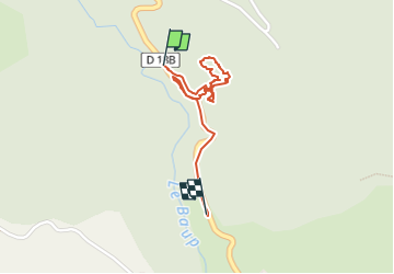
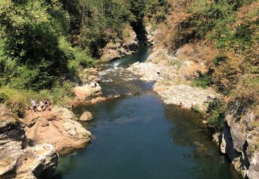
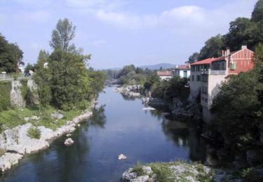
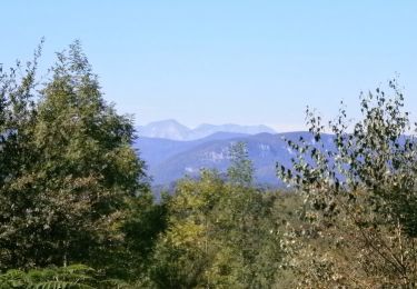
Trail Walking of 1.5 km to be discovered at Occitania, Ariège, Rimont. This trail is proposed by justin vignaux.
G
Electric bike

Mountain bike
Mountain bike
Walking
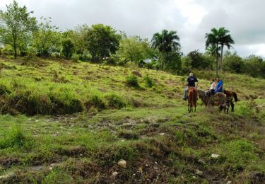
Equestrian
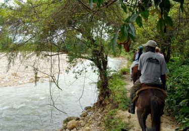
Equestrian

Walking
Walking
Walking