


20 km | 31 km-effort

User GUIDE


FREE GPS app for hiking
 SityTrail
IGN / Geographical institutes
SityTrail World
The world is yours!
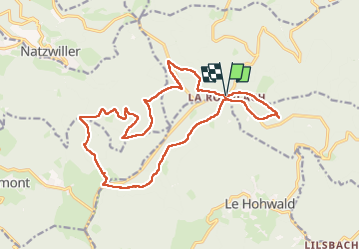
Trail Horseback riding of 18.8 km to be discovered at Grand Est, Bas-Rhin, Ottrott. This trail is proposed by holtzv.
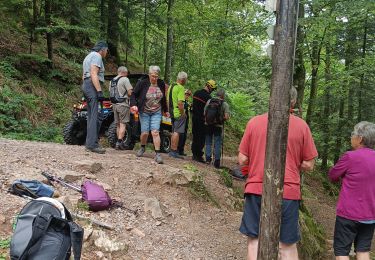
Depuis le parking de la Rothlach.
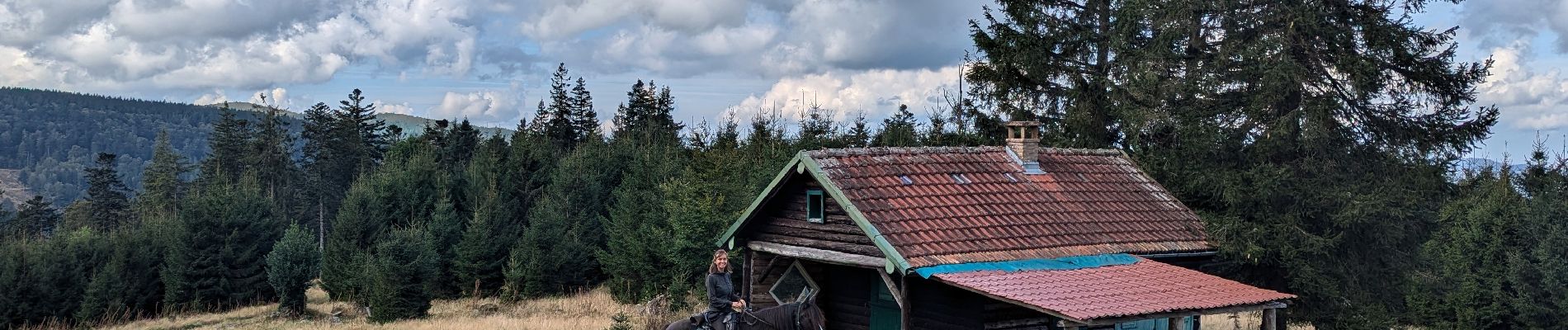
Petite journée en boucle en passant par la pierre de la mémoire, le Haut Sommerhof et son chalet, le Bas Sommerhof et sa maison, la crêtes des myrtilles, la vieille métairie et le Neuntelstein.


Walking

Walking
Horseback riding
Walking

Horseback riding
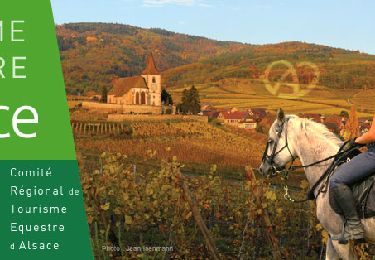
Horseback riding

On foot
Walking