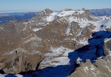
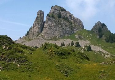
4.5 km | 7.5 km-effort
Schynige Platte
mich06
User
Length
3.5 km
Max alt
2052 m
Uphill gradient
182 m
Km-Effort
5.9 km
Min alt
1958 m
Downhill gradient
179 m
Boucle
Yes
Creation date :
2024-09-03 09:06:47.0
Updated on :
2024-09-03 10:28:55.939
1h21
Difficulty : Easy
FREE GPS app for hiking
About
Trail Walking of 3.5 km to be discovered at Bern, Interlaken-Oberhasli administrative district, Gündlischwand. This trail is proposed by mich06.
Positioning
Country:
Switzerland
Region :
Bern
Department/Province :
Interlaken-Oberhasli administrative district
Municipality :
Gündlischwand
Location:
Unknown
Start:(Dec)
Start:(UTM)
416685 ; 5167102 (32T) N.
Comments
Trails nearby
CH-Isenfluh - Alpweg
On foot
Easy
Lauterbrunnen,
Bern,
Interlaken-Oberhasli administrative district,
Switzerland
1h 42min
No
Sousegg - Sattel
On foot
Easy
Lauterbrunnen,
Bern,
Interlaken-Oberhasli administrative district,
Switzerland
4.2 km | 10.9 km-effort
2h 29min
No
Schynige Platte chemin panoramique 06.07.15
Walking
Medium
Gündlischwand,
Bern,
Interlaken-Oberhasli administrative district,
Switzerland
7.4 km | 11.7 km-effort
3h 0min
Yes
y10_kleine_scheidegg
Other activity
Very easy
Grindelwald,
Bern,
Interlaken-Oberhasli administrative district,
Switzerland
11.5 km | 15.6 km-effort
3h 21min
No
st_ral_3
Cycle
Very easy
Interlaken,
Bern,
Interlaken-Oberhasli administrative district,
Switzerland
59 km | 69 km-effort
Unknown
No
Eiger, Mönch und Jungfrau im Blickfeld
Walking
Very easy
Gündlischwand,
Bern,
Interlaken-Oberhasli administrative district,
Switzerland
15.9 km | 27 km-effort
Unknown
No
st_ral_09_05
Cycle
Very easy
Interlaken,
Bern,
Interlaken-Oberhasli administrative district,
Switzerland
23 km | 52 km-effort
7h 28min
No
st_mt_4
Walking
Very easy
Interlaken,
Bern,
Interlaken-Oberhasli administrative district,
Switzerland
128 km | 182 km-effort
Unknown
No
Schynige Platte First
Walking
Difficult
Gündlischwand,
Bern,
Interlaken-Oberhasli administrative district,
Switzerland
16.4 km | 27 km-effort
6h 59min
No