


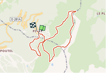

12.2 km | 28 km-effort

User


FREE GPS app for hiking
 SityTrail
IGN / Geographical institutes
SityTrail World
The world is yours!
Trail Walking of 10.2 km to be discovered at Auvergne-Rhône-Alpes, Isère, Theys. This trail is proposed by choubaka77.
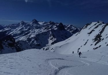
Belle boucle avec un petit passage aérien pour la roche Noire et de magnifiques panoramas


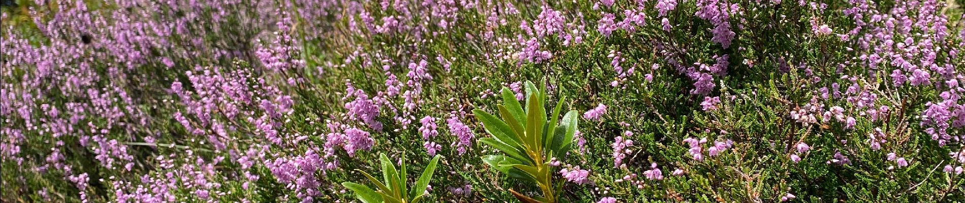
Walking

Walking
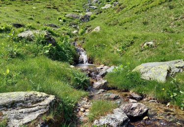
Walking
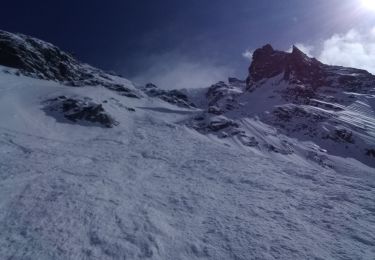
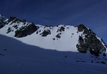
Touring skiing

Touring skiing

Touring skiing
Touring skiing
Touring skiing

Mountain bike