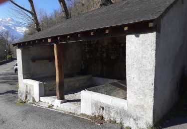
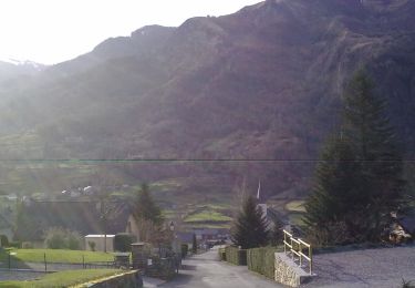
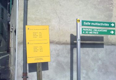
6 km | 9.9 km-effort
Laruns
Philippe Baraton
User
Length
8.6 km
Max alt
827 m
Uphill gradient
390 m
Km-Effort
13.8 km
Min alt
511 m
Downhill gradient
390 m
Boucle
Yes
Creation date :
2024-09-01 08:49:28.407
Updated on :
2024-09-01 14:40:53.19
2h58
Difficulty : Easy
FREE GPS app for hiking
About
Trail Walking of 8.6 km to be discovered at New Aquitaine, Pyrénées-Atlantiques, Laruns. This trail is proposed by Philippe Baraton.
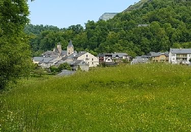
Positioning
Country:
France
Region :
New Aquitaine
Department/Province :
Pyrénées-Atlantiques
Municipality :
Laruns
Location:
Unknown
Start:(Dec)
Start:(UTM)
709857 ; 4762632 (30T) N.
Comments
Trails nearby
Pics de Cambeilh et petit Gerbe
Walking
Easy
(1)
Bielle,
New Aquitaine,
Pyrénées-Atlantiques,
France
13.7 km | 27 km-effort
5h 24min
Yes
LARUNS le tour du valentin G3 "3717878"
Walking
Difficult
Laruns,
New Aquitaine,
Pyrénées-Atlantiques,
France
9.3 km | 15.2 km-effort
3h 27min
Yes
La promenade horizontale
On foot
Easy
Eaux-Bonnes,
New Aquitaine,
Pyrénées-Atlantiques,
France
3.5 km | 5.3 km-effort
1h 12min
Yes
Les thermes
On foot
Easy
Eaux-Bonnes,
New Aquitaine,
Pyrénées-Atlantiques,
France
3.6 km | 5.9 km-effort
1h 20min
Yes
L'eau
On foot
Easy
Laruns,
New Aquitaine,
Pyrénées-Atlantiques,
France
4.8 km | 5.9 km-effort
1h 20min
Yes
La montagne verte
On foot
Easy
Eaux-Bonnes,
New Aquitaine,
Pyrénées-Atlantiques,
France
10.4 km | 17.8 km-effort
4h 2min
Yes
Les carrières
On foot
Easy
Louvie-Soubiron,
New Aquitaine,
Pyrénées-Atlantiques,
France
3.4 km | 7 km-effort
1h 35min
Yes
La promenade des trois villages
On foot
Easy
Béost,
New Aquitaine,
Pyrénées-Atlantiques,
France
5.1 km | 8.6 km-effort
1h 56min
Yes