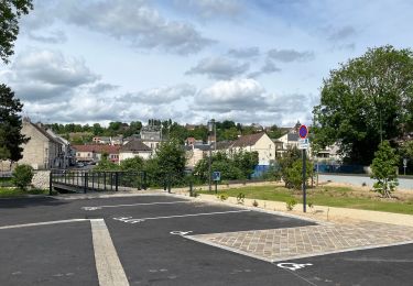
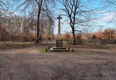
Trail Running Villers-Saint-Paul - Domi  - Photo
 topolino
topolino

User

© OpenStreetMap contributors
Length
Length
15.3 km
Max alt
Max alt
111 m
Uphill gradient
Uphill gradient
187 m
Km-Effort
Km-Effort  
17.8 km
Min alt
Min alt
24 m
Downhill gradient
Downhill gradient
188 m
Boucle
Boucle
Yes
Creation date :
2024-08-31 17:58:17.0
Updated on :
2024-08-31 17:58:21.545

(0 Reviews)

Running
Running
0m
Difficulty : Easy

Scan this QR Code to open this trail in the SityTrail application

FREE GPS app for hiking

Logo SityTrail SityTrail

IGN / Geographical institutes

Download SityTrail from the App Store Download SityTrail from Google Play

Logo SityTrail SityTrail World

The world is yours!

Download SityTrail from the App Store Download SityTrail from Google Play Download SityTrail on Huawei AppGallery

About

Trail Running of 15.3 km to be discovered at Hauts-de-France, Oise, Villers-Saint-Paul. This trail is proposed by topolino.

Elevation profile

Positioning

Country:
France
Region :
Hauts-de-France
Department/Province :
Oise
Municipality :
Villers-Saint-Paul
Location:
Unknown
Start:(UTM)
462747 ; 5459077 (31U) N.

Trails nearby

Trail Mountain bike Montataire - Rando des Forges 2012 - Montataire - Photo
Mountain bike
tracegps

Mountain bike

Medium
(1)
Montataire, Hauts-de-France, Oise, France
43 km | 51 km-effort
2h 30min
Yes
Trail Walking Montataire - Montataire  - Photo
Walking
Laigneville159-

Walking

Montataire, Hauts-de-France, Oise, France
8.5 km | 9.9 km-effort
2h 5min
Yes
Trail Walking Nogent-sur-Oise - nogentaise - Photo
Walking
Cécilia Taffou

Walking

Difficult
Nogent-sur-Oise, Hauts-de-France, Oise, France
13.4 km | 15.6 km-effort
4h 3min
Yes
Trail Walking Verneuil-en-Halatte - 2022-01-30 balade nous samy nouveau grand tour départ vers marronniers retour fond ste geneviève  - Photo
Walking
rolandmonjean

Walking

Easy
Verneuil-en-Halatte, Hauts-de-France, Oise, France
9.8 km | 11.8 km-effort
3h 13min
Yes
Trail Walking Rieux - Rieux - Le Roc et l'eau - Photo
Walking
tracegps

Walking

Medium
Rieux, Hauts-de-France, Oise, France
9.7 km | 12.5 km-effort
2h 0min
No
Trail Walking Laigneville - Laigneville-Barisseuse 8k2 - Photo
Walking
Laigneville159-

Walking

Medium
Laigneville, Hauts-de-France, Oise, France
8.2 km | 9.7 km-effort
2h 11min
Yes
Trail sport Monchy-Saint-Éloi - 2022-09-28_13h36m37_<CAC9XJQ5buBJim13UVmX+3WM3tvG2H9PncH-espriqxQdtYHG3Q@mailgmailcom>_chedeville-9kmsgpxchedeville-9kms - Photo
sport
Marc ROUSSELOT

sport

Very easy
Monchy-Saint-Éloi, Hauts-de-France, Oise, France
8 km | 9.5 km-effort
Unknown
Yes
Trail Walking Verneuil-en-Halatte - 2022-02-14 balade nous samy petite boucle 1h fond ste geneviève retour marronnier verneuil - Photo
Walking
rolandmonjean

Walking

Easy
Verneuil-en-Halatte, Hauts-de-France, Oise, France
4.4 km | 5.4 km-effort
1h 33min
Yes
Trail Road bike Laigneville - VERBERIE  - Photo
Road bike
Marc ROUSSELOT

Road bike

Very difficult
Laigneville, Hauts-de-France, Oise, France
63 km | 68 km-effort
3h 35min
Yes


Close
My subscriptions